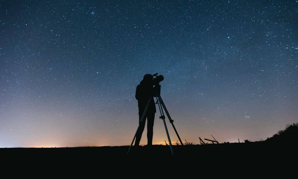
The northern lights glowing over Kentucky last weekend were a rare sight. Social media lit up with photos from Bowling Green to Louisville as the sky turned pink and green. But while everyone admired the show, local surveyors were watching something else—their GNSS readings. A boundary survey relies on satellite data to pinpoint property lines with precision. Normally, that’s no problem. Yet during a geomagnetic storm, the same cosmic activity that makes those lights dance in the sky can quietly nudge a surveyor’s GPS readings off by a few inches—or even more. That might not sound like much, but in surveying, small errors can turn into big headaches.
When Space Weather Hits the Ground
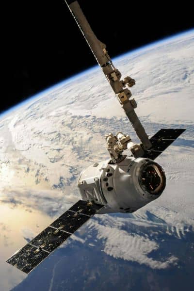
A geomagnetic storm happens when solar flares from the sun send charged particles toward Earth. When they reach our planet’s magnetic field, they cause disturbances that ripple through the upper atmosphere. That’s what creates the colorful auroras—and also what can interfere with GPS signals.
Surveyors depend on GNSS (Global Navigation Satellite Systems) to find their exact position. The problem is, during a geomagnetic storm, those satellite signals bend and scatter slightly as they pass through the charged layers of the atmosphere. It’s like trying to see straight through wavy glass.
When this happens, even advanced RTK (Real-Time Kinematic) systems—used for ultra-precise positioning—can show readings that are off by several tenths of a foot. For someone mapping a fence line or setting new corner markers, that tiny shift can cause real-world problems.
Why Accuracy Matters More Than Ever
Think about how many projects depend on exact boundaries. Property owners use surveys to build fences, design driveways, or plan additions. Builders rely on them to make sure structures stay within setbacks. Even lenders and title companies reference them when closing on property.
If a survey point is off, the ripple effect can be huge. A misplaced fence could cross into a neighbor’s yard. A driveway might stray outside legal limits. And a foundation built on the wrong side of a line can lead to costly disputes.
Western Kentucky, including Bowling Green, has another challenge: karst terrain. The limestone beneath the ground is full of voids and sinkholes, which means the surface can subtly shift over time. Add geomagnetic storms into the mix, and it’s easy to see why surveyors here double-check every coordinate.
The Real-World Effect on Boundary Surveys
Imagine you just hired a surveyor to mark your property corners after that beautiful aurora weekend. The data looks fine at first—but if the GNSS signal drifted during that storm, the markers might be inches away from the true legal line.
That kind of difference doesn’t show up until someone builds near it or compares deeds later. Then, suddenly, you’re facing questions about encroachment or permit violations. Surveyors know that’s not acceptable. That’s why they monitor space weather alerts from the NOAA Space Weather Prediction Center—the same agency that tracks solar flares and geomagnetic activity.
When the K-index (a scale that measures storm intensity) rises above 5, surveyors know it’s time to be cautious. Many professionals will pause GNSS-based work or switch to other methods like total station measurements until the atmosphere settles.
How Surveyors Stay Accurate After a Storm
The best surveyors don’t just rely on technology—they rely on judgment. After a geomagnetic event, they often revisit control points to make sure their data still lines up. They’ll compare new readings with known benchmarks, take longer observations, and run extra checks before delivering a final map.
They might even blend techniques—using GNSS for broad positioning and optical instruments for critical boundary corners. This extra effort ensures your survey results stay solid, no matter what’s happening above the clouds.
If you work with a licensed boundary surveyor, these precautions are already built into their process. They know how to interpret satellite corrections, filter out errors, and record the conditions that could influence the results. You may never see that part of the job, but it’s one of the reasons hiring professionals matters so much.
What Property Owners Can Learn from This
For most people, a geomagnetic storm sounds like something out of science fiction. But for surveyors, it’s just another variable they have to manage—like bad weather or tricky terrain.
If you’re planning a boundary survey soon, ask your surveyor a few smart questions:
- Do they monitor space-weather alerts before collecting GNSS data?
- How do they verify accuracy after unusual solar activity?
- Will they recheck control points if a geomagnetic disturbance happens nearby?
These questions show you understand the value of precision and care. A good surveyor will appreciate that.
It’s also wise to give your project a small scheduling buffer. If a storm warning pops up, your surveyor may prefer to delay fieldwork by a day or two. That little bit of patience can prevent bigger issues later.
Why Kentucky Needs Extra Vigilance
In places like Bowling Green, even a few inches can make a difference. The region’s mix of rolling hills, underground drainage channels, and flood-prone zones means survey accuracy isn’t just about lines—it’s about safety and compliance.
After the recent storms, many local crews rechecked floodplain and sinkhole repair sites to confirm that their reference points hadn’t shifted. That kind of diligence keeps both homeowners and builders out of trouble. It also reminds us that surveying is as much about protecting investments as it is about measuring land.
The Takeaway: Precision Starts Above the Ground
That shimmering sky over Kentucky was a reminder of how connected our world really is. What happens 93 million miles away on the sun can influence something as down-to-earth as your property line.
Your next boundary survey might seem like a simple task, but behind the scenes, your surveyor is working against invisible forces—both geological and cosmic—to keep every corner true.
So next time the northern lights appear, enjoy the view. Just know that somewhere nearby, a surveyor might be recalibrating their instruments, making sure your land stays mapped exactly as it should.
Because in land surveying, accuracy isn’t just about where you stand—it’s about knowing what’s shifting all around you.