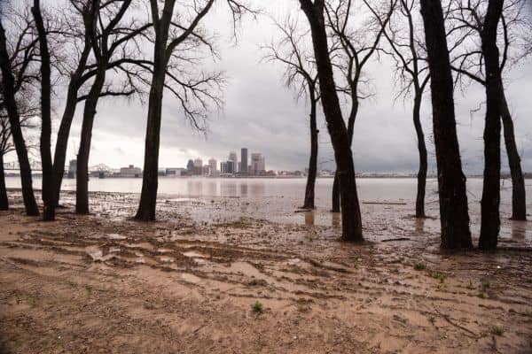
If you live in Kentucky, especially in flood-prone areas, you may need an elevation certificate. This certificate shows how high your property is compared to the Base Flood Elevation (BFE) set by FEMA. Knowing this can help you understand your flood risk and possibly lower your flood insurance costs. In a state full of rivers, creeks, and valleys, an elevation certificate helps protect your home and potentially lower flood insurance costs.
With so many rivers, creeks, and valleys across the state, having an elevation certificate isn’t just smart—it’s a practical way to protect your home and finances.

Why Are Elevation Certificates Important in Kentucky?
Kentucky has many areas at risk of flooding, like Green River communities, Elkhorn Creek neighborhoods, and city outskirts with poor drainage. These areas may flood, especially during heavy rain or snow melts. The elevation certificate tells you how high your property is compared to the flood level. This is important because it helps you decide if you need flood protection or if you can reduce your insurance costs.
If your property is in a flood zone, having an elevation certificate will give you accurate insurance rates. Without one, you might pay more than you need to.
How Does an Elevation Certificate Affect Flood Insurance?
In Kentucky, elevation certificates can lower your flood insurance premiums. When you have one, it shows whether your property is above or below the flood risk zone. If your property is higher than the Base Flood Elevation (BFE), you may pay less for insurance.
If you don’t have an elevation certificate, you might pay higher rates for flood insurance or even find it harder to get coverage at all.
What’s in an Elevation Certificate?
An elevation certificate has a few important details:
- Base Flood Elevation (BFE): This shows how high floodwaters could rise during a big flood.
- Your Property’s Elevation: This tells how high your property is compared to the BFE.
- Flood Zone Information: It shows what flood zone your property is in.
- Surveyor’s Info: The certificate is signed by a licensed surveyor to make sure the information is correct.
How Do You Get an Elevation Certificate in Kentucky?
To get an elevation certificate, you’ll need to work with a licensed land surveyor in Kentucky to measure your property and complete the required FEMA forms. The process involves:
- Site Visit: The surveyor visits your property and takes measurements.
- Checking Records: They check FEMA’s flood maps to confirm the data.
- Completion: The surveyor fills out the certificate and gives it to you.
It usually costs between $300 and $1,000 in Kentucky, depending on where you live and the size of your property. It can take a few days to get the certificate.
Flood Risk Zones in Kentucky

Kentucky has many areas near rivers or in valleys that are more likely to flood.Towns along the Green River, Elizabethtown, and valleys near Elkhorn Creek are examples of places with increased flood risk. FEMA creates flood zones to show where these areas are. If your property is in a high-risk zone, an elevation certificate can show if you need to make changes to protect your property.
For example, if you live near the Kentucky River, the certificate can help you see if your home is above or below the flood level.
When Do You Need an Elevation Certificate?
Here are some reasons you might need an elevation certificate in Kentucky:
- Flood Insurance: To get the right flood insurance rate.
- Building or Renovating: If you’re building or making changes to your home, you may need one to follow local flood rules.
- Flood Risk Awareness: It helps you know if your home is at risk for flooding.
Common Misunderstandings About Elevation Certificates
Some people misunderstand elevation certificates. Here are some common myths:
- Myth 1: “I don’t need an elevation certificate because my property isn’t in a flood zone.”
Reality: Even properties outside flood zones can still be at risk. - Myth 2: “Only new homes need an elevation certificate.”
Reality: Even older homes may need one if you’re remodeling or selling. - Myth 3: “Elevation certificates are too expensive.”
Reality: The cost may seem high, but it can save you money on flood insurance in the long run.
How an Elevation Certificate Helps When Buying or Selling Property
If you’re buying or selling a property in Kentucky, an elevation certificate can make the process easier. Lenders and insurance companies often require one. Without it, you may have trouble getting a loan or flood insurance, especially if you live in a flood-prone area.
Having an elevation certificate could also reduce the cost of flood insurance, which might make your property more attractive to buyers.
Protect Your Property with an Elevation Certificate
In Kentucky, where flooding is a real risk, having an elevation certificate is smart. Whether you live in Louisville, Lexington, or near the Kentucky River, this certificate helps you understand your flood risk and may lower your insurance costs. It’s a small investment that can give you big peace of mind.
Make sure you get an elevation certificate to protect your property from floods and ensure your flood insurance is fair and accurate.


