Why Rising Landslide Risks Make Topo Surveys Essential
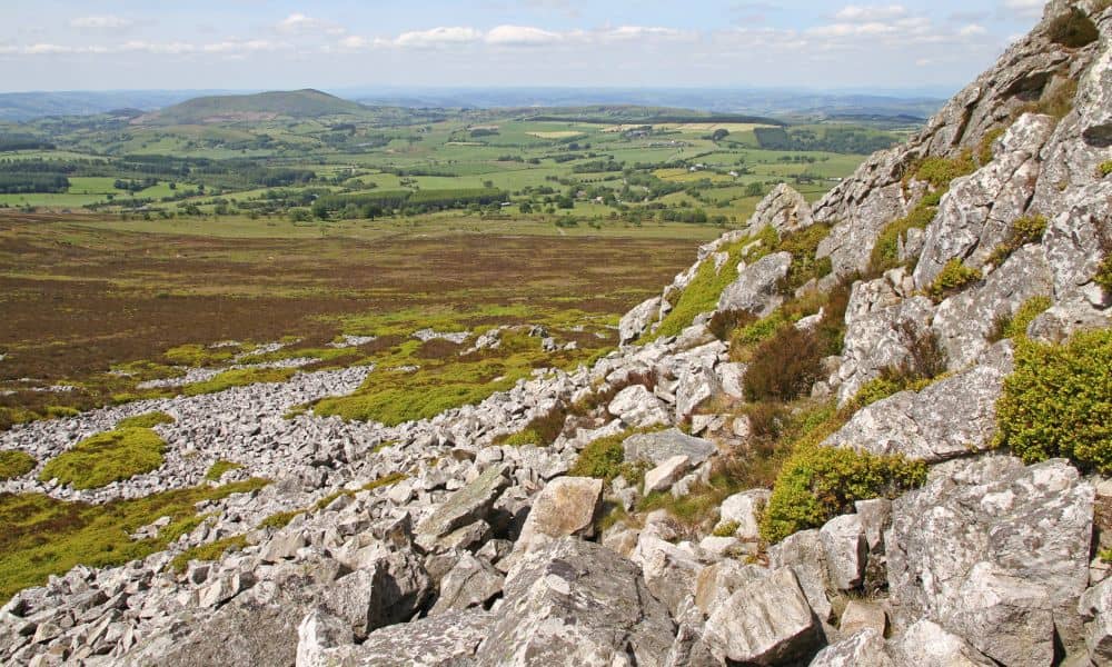
Kentucky has seen more attention on landslides over the past few years, and for good reason. Heavy rainfall, hilly ground, and changing land use create a real risk for both rural and growing communities. Now, the Kentucky Geological Survey (KGS) is building a new weather-based landslide forecasting model to help predict where the ground may […]
Accuracy Levels in Topo Surveys: What’s Considered Reliable?
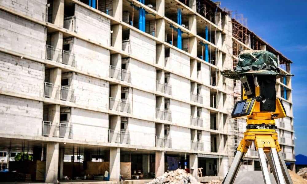
If you’ve ever tried planning a project, you already know how quickly things can get complicated. Permits, grading, drainage—it all depends on having the right information from the start. That’s why topo surveys are so important. They give you a clear picture of your land so engineers, contractors, and even city officials know exactly what […]