Imagine coming home, walking into your backyard, and seeing bulldozer tracks across your grass. Now imagine discovering that the neighbor already poured concrete next to your house while you were gone. That nightmare became a viral story online, and many homeowners could relate. The frightening part is that this can happen anywhere. A proper construction staking survey could have stopped this early before a shovel ever touched the ground.
The viral situation unfolded when a homeowner shared how her neighbors bulldozed part of her yard and even attached work into her house without warning. She said she felt shocked and violated. People reacted because many homeowners worry about the exact same thing—someone crossing into their property and damaging it without permission. Most assume things like fences, shrubs, or trees mark the line, but those can be totally inaccurate.
That is where problems begin.
Why This Went So Wrong
This situation got out of hand because key steps were skipped. First, the property line was unclear. Nobody confirmed the true legal boundary between both yards. Without that clarity, every decision becomes a guess. Second, the area wasn’t marked before digging. When there are no visible markers, big equipment can drift into the wrong space without realizing it. Third, setbacks and build limits weren’t confirmed. Those invisible rules matter more than most people think.
When those pieces fall apart, conflicts start fast.
How a Construction Staking Survey Prevents This Early
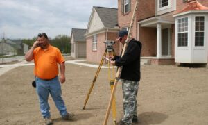
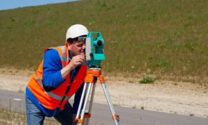
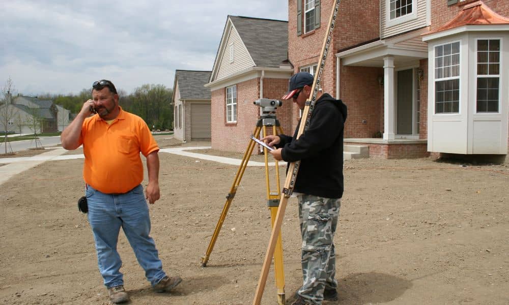
A construction staking survey makes the invisible visible. A licensed surveyor visits the site and marks exactly where construction should happen. They place stakes to show the building footprint and clear limits. Everyone on site knows where to build—and where not to build.
With those stakes in the ground:
- contractors follow a defined layout
- homeowners stay protected
- neighbors avoid disputes
- costly mistakes disappear
If that step happened in the viral case, the crew would have seen the boundary markers and stopped immediately. No confusion. No anger. No drama.
Could This Happen in Your Neighborhood?
Definitely. It happens in big cities, suburbs, older neighborhoods, and rural areas. Fence lines shift. Trees straddle boundaries. Old corner markers vanish. Neighbors rely on memory. Contractors trust old fences. All of these things lead to trouble.
Many homeowners don’t even think about boundaries until they begin planning a project. That’s usually when they reach out to survey companies near me to get clarity before anyone starts digging. They want confidence in where their land ends, not surprises after construction begins.
Even small mistakes become large when machinery gets involved. A single foot over the line is still over the line. And once concrete sets, the damage becomes expensive.
The Hidden Risks Homeowners Don’t See
Boundary confusion can lead to:
- property damage
- tense neighbor relationships
- legal complaints
- stalled projects
- forced removal of structures
- wasted money
One misunderstood line can create a situation nobody wants.
Why Guessing Is Dangerous
Contractors work fast. Equipment works even faster. But fast means nothing without accuracy. A construction staking survey slows things down just enough to avoid disaster. It removes guesswork and replaces it with evidence.
What Happens During a Construction Staking Survey
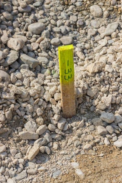
The surveyor reviews the plans, finds the boundary corners, measures the layout, and stakes the exact build zone. They place markers where the new structure belongs, and they explain the layout clearly. When they finish, the ground tells the story. You can walk the site and understand instantly what is allowed.
This step protects you before construction begins.
Why This Step Gives Peace of Mind
People feel safe when things are clear. They panic when things are uncertain. No homeowner wants costly surprises. When the stakes are in place, you know where your project stands—literally. There is no wondering, assuming, or guessing.
That peace has real value.
The Big Lesson From the Viral Story
The message is simple: don’t wait for something bad to happen. Prevent it. Don’t react once the bulldozer crosses the line. Stop the confusion before it begins. A construction staking survey gives the protection most people don’t even realize they need.
When everyone knows the true limits, nobody crosses them.
Final Thought
Home upgrades should feel exciting, not stressful. Before any digging starts, get the boundaries marked. A construction staking survey is the early step that protects your land, your money, and your peace.
Build with confidence. Protect your space. Stay ahead of the chaos.
Because clear boundaries create clear outcomes.
