If you’ve ever scheduled a drone survey for a property project, you probably expect everything to be accurate down to the inch. Most days, that’s exactly what happens. However, recent headlines about powerful solar storms might make you wonder if the sun can actually mess with your survey. The short answer is yes. But the full story is more interesting, and understanding it will help you avoid problems with future projects.
Over the past few weeks, space weather made national news. Scientists reported some of the strongest solar storms seen in years. These storms didn’t just create bright auroras. They also caused short-term problems for GPS and other satellite systems. Since drone surveys rely on GPS to map land, it’s fair to ask how this affects the accuracy of your results. The good news? Surveyors know how to deal with it. Still, it helps to understand what’s happening above us and how it reaches your backyard.
The Basics: What a Solar Storm Does to GPS
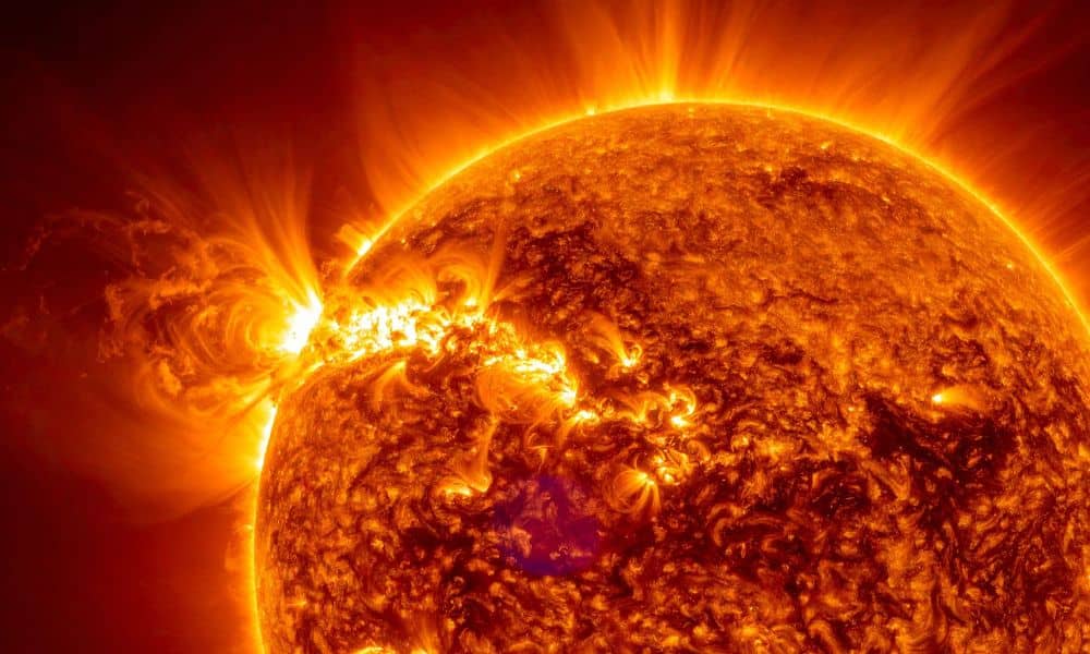
A solar storm is a burst of energy from the sun. When that energy hits the Earth, it shakes up the upper atmosphere. GPS signals travel through that layer of the sky, and the disturbance slows them down or bends them slightly. This doesn’t sound like a big deal, but for survey work, even a small bend can throw off a measurement. During strong solar storms, GPS drift can jump from a few centimeters to a couple of feet.
Drone surveys depend on those signals for mapping, flight paths, and accurate ground points. When the signals shift, the drone’s camera may still take perfect photos, but the location data behind those photos may not line up exactly with the real world. If the drift is large enough, maps can look correct but still contain errors. That’s why understanding space weather isn’t just for NASA. It matters for your land projects too.
How This Impacts Homeowners
Bowling Green has many tight lots, growing subdivisions, and infill projects. In these smaller spaces, a few inches matter a lot. A slight shift in data can affect driveway placement, home additions, deck layouts, fence alignments, and even drainage planning. When the land has narrow setbacks, one wrong move can slow down a project or lead to extra costs.
Builders and homeowners also use drone maps to check high and low spots. These tiny changes keep water flowing in the right direction. A solar storm can blur those elevations just enough to cause confusion. While the storm itself doesn’t cause flooding, the wrong data might cause someone to grade the land the wrong way. Because of that, getting solid, verified results matters even more during periods of high solar activity.
What a Skewed Drone Survey Looks Like
You won’t see flashing warnings or broken images. Instead, the errors hide inside the numbers. A map may shift a little to the left. A corner point may drift slightly forward. A spot that looks flat may show up a little higher or lower than it really is. A line that should match your fence might sit a foot off. These mistakes are small, but they matter when you’re signing permits, pouring concrete, or planning drainage.
The trouble is that digital maps look clean even when the math behind them is unstable. This is why professional surveyors don’t just press a button and trust whatever the drone reports. They use several methods to confirm the accuracy before giving you the final file.
How Surveyors Keep Your Drone Survey Accurate
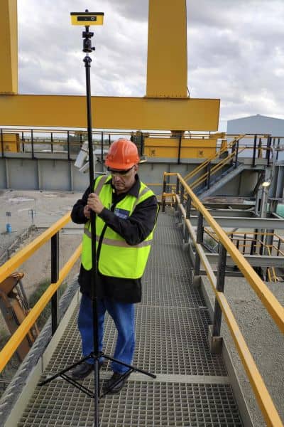
Even though solar storms can interfere with GPS, experienced surveyors know how to work around them. They check satellite conditions before flying. If the signals look weak or unstable, they wait for a better time. This alone protects you from a lot of headaches.
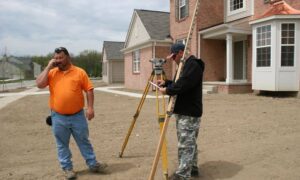
Surveyors also place ground control points on the site. These markers have fixed coordinates, so the drone data must match them. If a solar storm bends the GPS signal during flight, the ground control points pull the map back into place. This helps keep the results stable even during shaky conditions.
Some days, the solar activity is so strong that a surveyor simply doesn’t fly. The team waits until the sky calms down. Because they monitor GPS health all day, they can pick the best window to collect data. You may not see all this behind-the-scenes work, but it makes a big difference in the accuracy of your results.
When You Should Consider Timing
Most of the time, your drone survey won’t be affected at all. Solar storms come and go, and their strongest effects last for short windows. Still, timing matters when accuracy must be perfect. If you’re planning a tight project, a property line check, or anything involving precise elevations, it’s smart to ask your surveyor if GNSS conditions look stable that week. They’ll know right away.
If you learn that a big solar storm is happening, don’t panic. You don’t need to cancel your project. Just allow a little flexibility in the schedule. A good surveying team will let you know if they need to shift a flight to protect accuracy.
Why Cheap Drone Operators Are Most at Risk
Anyone with a drone can take pictures. Not everyone understands GPS drift, space weather, or mapping accuracy. Many low-cost operators rely on the drone’s GPS alone. They don’t check satellite conditions, they don’t use proper ground control, and they don’t verify the results afterward. During a solar storm, these shortcuts can lead to bad maps, even if the photos look fine.
This becomes a bigger problem when a homeowner or builder uses those maps for real decisions. A wrong measurement can mean delays, extra cost, or trouble with the city. When accuracy matters, a licensed surveyor protects you from these risks.
What to Ask Your Surveyor
Talking about solar storms feels a little strange at first, but it’s important. Before your survey date, you can ask simple questions like:
- “Do you check GNSS or solar storm alerts before flying?”
- “Do you use ground control points or only drone GPS?”
- “How do you make sure the data stays accurate if the GPS signal isn’t stable?”
- “What happens if solar activity is high that day?”
These questions show you care about accuracy, and they help you pick a team that takes your project seriously.
Final Thoughts
Solar storms may sound like science fiction, but their effects on GPS are real. They can nudge a drone survey off by a few inches or more, and that shift can matter on your property. Still, you don’t need to worry. When you hire a professional surveying team, they monitor space weather, adjust their timing, use strong ground control, and double-check everything. Even on days when the sky acts up, your project stays safe.
If you’re planning a drone survey soon, ask the right questions and choose a team that knows how to protect your accuracy. With the right approach, the sun won’t cause trouble for your land, your plans, or your peace of mind.
