New buildings, roads, and power projects are changing southern Kentucky fast. But they’re also changing how water flows across the land. That’s why more people are now getting a flood elevation survey before they build or buy property. With floodplain maps expanding and more projects popping up nearby, knowing your property’s true height could save you from future flooding and costly mistakes.
Growth and Water Don’t Always Get Along
In the past few months, big energy news made headlines. The Danish company Ørsted sold half of its $6 billion offshore wind farm project, showing that more power transmission lines are coming across the U.S.
You might think that has nothing to do with Kentucky—but it does. The Tennessee Valley Authority (TVA) is planning new substations and transmission lines around Transpark East in Warren County. These projects bring jobs and growth, but they also mean more concrete, more roads, and fewer places for rainwater to drain naturally.
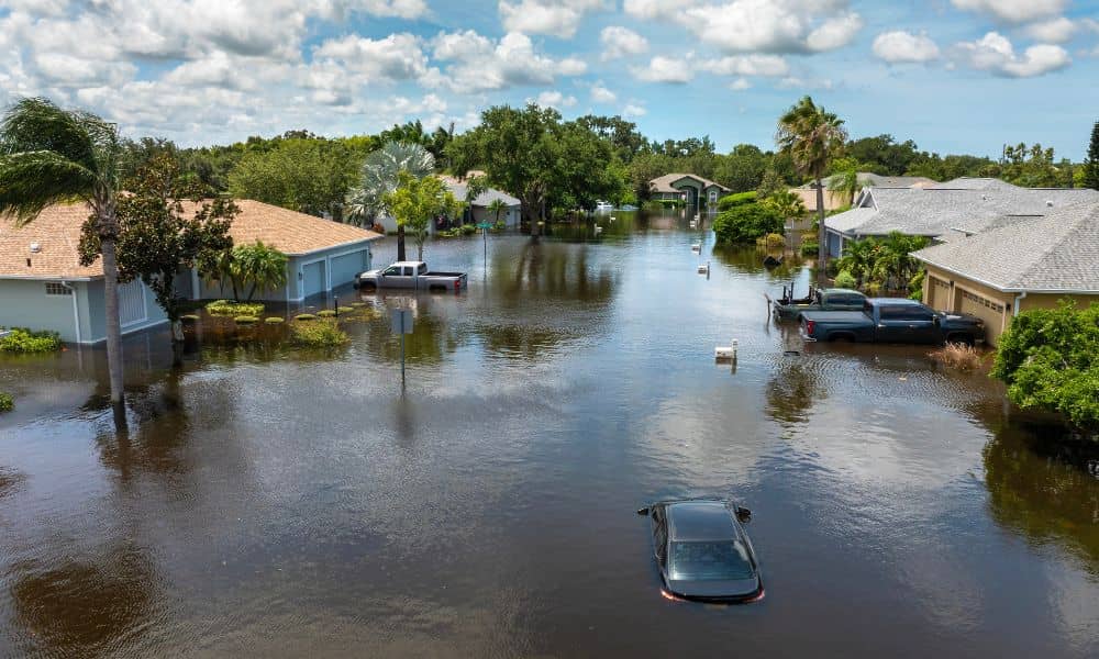
When water has nowhere to go, it spreads. That’s one reason FEMA and the Kentucky Division of Water are updating flood maps for counties like Warren, Barren, and Simpson. Some homes that were once outside the flood zone might soon be inside one.
Why Floodplain Maps Are Being Updated
After the April 2025 storms, floodplain boundaries across southern Kentucky were redrawn using new data. Scientists studied how rivers like the Barren and Lost Rivers react to heavy rain and built updated computer models.
Those maps help FEMA and the state show which areas are at higher flood risk. If your property is added to one of these zones, your lender or insurance company may ask for an Elevation Certificate. To get that, you’ll need a flood elevation survey done by a licensed land surveyor.
What a Flood Elevation Survey Shows
A flood elevation survey measures how high your building’s lowest floor is compared to the nearby flood level shown on FEMA’s maps. It’s like a detailed “height check” for your property to see how safe it is from floodwaters.
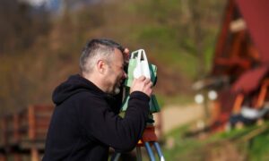
A surveyor will visit your property, find accurate reference points, and measure the height using GPS or total station tools. Then they prepare an Elevation Certificate, which is an official document that banks and insurance companies use to calculate your flood risk.
If your home sits higher than the flood level, you may get lower insurance costs or even be removed from the flood zone through a Letter of Map Amendment (LOMA). If it’s lower, the survey helps you plan what to do next—maybe raise your structure or improve drainage.
Why It’s Important to Act Now
Flood maps are always changing. When new construction changes how rainwater moves, it can create new low spots or direct water toward areas that never flooded before.
You might need a flood elevation survey if:
- You’re buying or refinancing a home in a flood zone.
- You’re building near a river, creek, or drainage ditch.
- You want to apply for a LOMA or LOMR from FEMA.
- You’re developing a subdivision or starting site work.
Banks and city offices are becoming more careful about flood data. Getting a survey early shows you’re prepared. It also helps avoid last-minute delays when closing on a property or applying for a permit.
A Growing Need Around Bowling Green
Bowling Green keeps growing fast, especially around the Transpark and I-65 corridor. But these areas are close to creeks that can overflow after heavy rain.
New flood map updates may roll out soon, and when they do, more homeowners could get letters from lenders or insurers asking for elevation data. Doing a flood elevation survey now—before that happens—gives you time to plan and avoid surprises.
For builders and developers, surveys help design better drainage systems that meet stormwater rules. It’s much cheaper to plan correctly now than fix flooding problems later.
How Modern Tools Help Surveyors
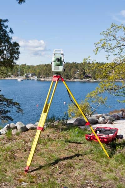
Surveyors today use advanced tools like drone surveying and UAV LiDAR mapping to make the job faster and more accurate. These tools capture detailed terrain and drainage data over large areas, which helps in floodplain studies.
Many surveyors now mix drone data with traditional ground measurements to support both public and private projects. That means you get more precise results, shorter wait times, and fewer design issues later.
If you hire a surveyor, ask if they use drones or LiDAR technology—it can make a big difference.
The Big Picture: Energy, Growth, and Water
It might seem odd that a wind farm in Europe connects to a floodplain in Bowling Green, but it’s all linked. Big energy projects need new power lines. Those lines attract data centers and warehouses. More development changes where water flows, and that leads to new floodplain updates.
In short, what happens in one part of the energy world can shape your backyard.
That’s why it’s smart to be proactive. You don’t need to be an engineer to protect your property, but you do need accurate data. A flood elevation survey gives you solid numbers you can trust—numbers lenders, insurers, and city engineers rely on.
The Bottom Line
Southern Kentucky is growing quickly, and that growth brings changes to how water moves. New energy lines, new construction, and stronger storms are all part of the picture. Whether you live near the Barren River or are planning a project near Transpark, getting a flood elevation survey is one of the smartest steps you can take.
Don’t wait for the next FEMA map update or the next heavy storm. Contact a licensed land surveyor today and learn where your property truly stands. A few measurements now could save you a lot of trouble later.

