How Accurate Land Surveys Protect Property Investments

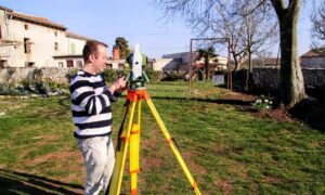
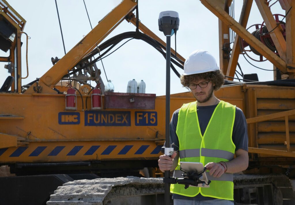
Land surveyor in Bowling Green KY using GPS equipment on a construction site

When it comes to owning property, small mistakes can lead to big problems. A missing boundary line, a misplaced fence, or unclear land records can turn into costly legal issues. That’s why accurate surveys matter—especially when they’re done by a skilled land surveyor.

Whether you’re developing land or finalizing a purchase, a survey helps confirm what’s physically present—and what legally belongs to you.

What Makes a Land Survey “Accurate”?

A professional land surveyor uses tools like GPS, total stations, and computer software to map out land boundaries and features. But more than just technology, accuracy comes from following strict legal standards and carefully checking property records.

The result? A reliable document that shows exactly where property lines, easements, and improvements are located—something every property owner, buyer, or developer can depend on.

Real Problems Caused by Inaccurate or Missing Surveys

Skipping a survey or relying on outdated information can lead to major issues, such as:

  • Boundary disputes with neighbors
  • Structures built across property lines
  • Permit delays or rejections
  • Trouble during refinancing or title transfers

In many cases, these problems only surface once it’s too late—costing property owners time and money.

When Should You Hire a Land Surveyor?

Here are some common situations where bringing in a licensed land surveyor is a smart move:

  • Before buying or selling land
  • Prior to building fences, sheds, or new structures
  • When dividing or merging land parcels
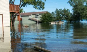
  • After natural changes like erosion or flooding

Surveys at these stages can save you from headaches down the line. An experienced land surveyor near you can guide you through each step to ensure everything is done right the first time.

Why Local Knowledge Matters: Land Surveyor in Bowling Green KY

If you own or are buying property in South Central Kentucky, working with a land surveyor in Bowling Green KY offers a big advantage. Local professionals understand the region’s terrain, zoning laws, and property history—whether you’re dealing with farmland, residential lots, or commercial sites.

A surveyor with regional experience helps ensure your project meets city and county requirements from the start.

Final Thoughts: Accuracy is Worth It

Hiring a qualified land surveyor is one of the best ways to protect your property investment. It brings clarity to land records, helps avoid legal trouble, and builds trust with lenders, buyers, and neighbors.

In growing communities like Bowling Green, accurate surveys play a vital role in responsible land use and development—helping you move forward with confidence.
author avatar
Surveyor

More Posts

Professional land surveyors in safety vests and hard hats using surveying equipment on a property site during ALTA surveys in Bowling Green
alta survey
Surveyor

How ALTA Surveys Protect Stakeholders in Real Estate

If you’ve ever tried to buy or sell property, you already know—it’s never just one person at the table. Buyers, lenders, title companies, builders, even attorneys all have a stake in the deal. And when that many people are involved, mistakes can get expensive fast. That’s why ALTA surveys are

Read More »
Surveyor performing a boundary survey in a Bowling Green,residential area to confirm property lines for HOA approval
boundary surveying
Surveyor

Why Your HOA Might Require a Boundary Survey

Living in a community with a Homeowners Association (HOA) in Kentucky comes with certain rules and responsibilities. One of those responsibilities may involve getting a boundary survey before you start certain projects. At first, this might seem like an unnecessary step. However, it actually protects both you and your neighborhood

Read More »
Louisville, Kentucky skyline and bridge over the Ohio River at sunset, showing areas where flood risk and elevation certificates may apply.
flood damage
Surveyor

Why an Elevation Certificate Matters

If you live in Kentucky, especially in flood-prone areas, you may need an elevation certificate. This certificate shows how high your property is compared to the Base Flood Elevation (BFE) set by FEMA. Knowing this can help you understand your flood risk and possibly lower your flood insurance costs. In

Read More »
Historic bridge in Bowling Green, KY — example of local infrastructure supported by drone surveying
land surveying
Surveyor

How Drone Surveying Supports Bridge and Highway Projects

In fast-growing areas like Bowling Green, KY, road and bridge construction is happening all around us. Whether it’s expanding I-65, improving traffic flow on Scottsville Road, or working near the Barren River, accurate land data is essential. That’s where drone surveying comes in — offering fast, detailed insights without slowing

Read More »
Historic rural property with large lawn near Bowling Green, KY, ideal for topographic survey planning
land surveying
Surveyor

How Topographic Surveys Help Solve Drainage Issues on Rural Land

If you live on rural land near Bowling Green, KY, you know that drainage issues can be a real headache. From soggy yards to erosion washing out driveways, it’s a common challenge in this part of Kentucky. That’s why getting a topographic survey before starting any major work on your

Read More »
Aerial view of downtown redevelopment—used in article about the importance of an ALTA survey in Bowling Green, Kentucky.
alta survey
Surveyor

Hidden Risks ALTA Surveys Uncover in Redeveloped Properties

Redevelopment is booming in South Central Kentucky—and an ALTA survey is one of the most important tools to protect your investment. Whether it’s an old warehouse being converted into office space or a vacant lot being cleared for new housing, these projects come with hidden land risks that aren’t always

Read More »