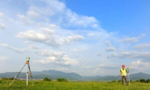
LiDAR mapping is revolutionizing how we understand and interact with our surroundings—especially for professionals involved in development, surveying, and environmental planning. If you’re located in Bowling Green, KY and are hearing about this technology for the first time, this guide will walk you through everything you need to know.
How LiDAR Mapping Works: A Step-by-Step Overview
- Laser Pulses and Distance Measurement
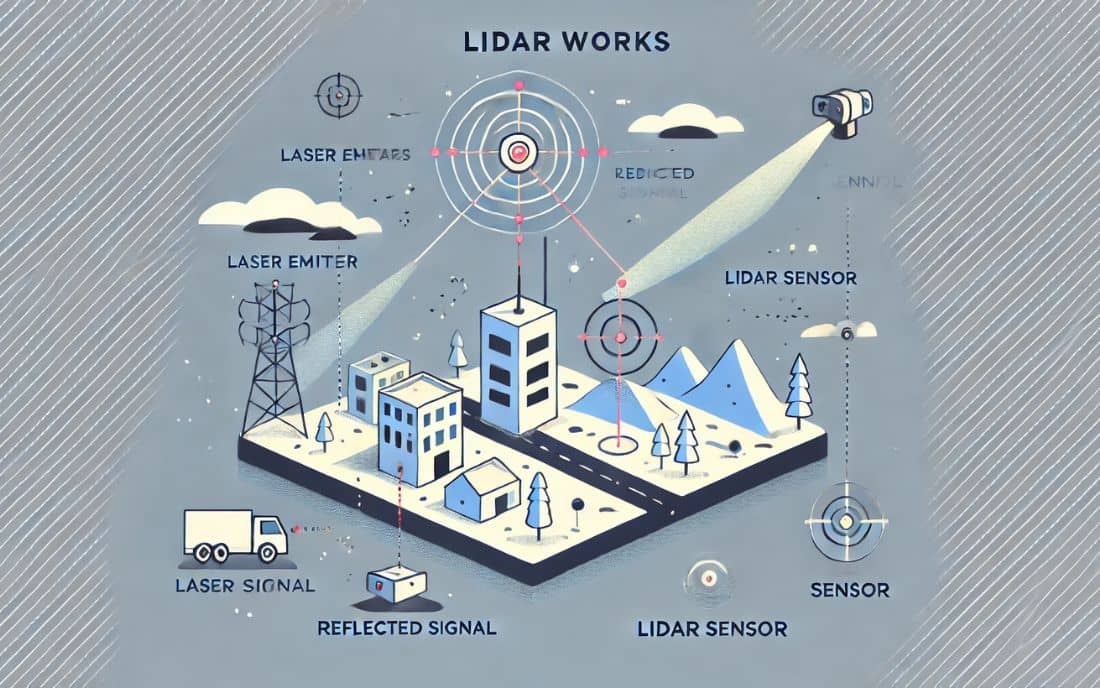
LiDAR—short for Light Detection and Ranging—uses rapid laser pulses to measure distances between the scanner and the Earth’s surface. These pulses bounce back, and the time they take to return helps determine the distance, creating a precise 3D map.
- Integration with GPS and Inertial Systems
To ensure pinpoint accuracy, LiDAR systems combine laser data with GPS and motion sensors, allowing for accurate mapping even from moving platforms like drones or aircraft.
Types of LiDAR: Airborne vs Terrestrial
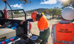
- Airborne LiDAR is mounted on aircraft or drones and is perfect for scanning large land areas quickly.
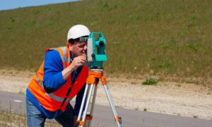
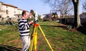
- Terrestrial LiDAR is ground-based and ideal for detailed scans of buildings or construction zones.
Top Benefits of Using LiDAR Mapping
1. Speed and Accuracy in Land Surveys
LiDAR surveys can cover hundreds of acres in just a few hours—with data accurate to within a few centimeters. This is a game-changer compared to traditional survey methods.
2. Cost-Effectiveness Over Time
While the upfront cost might be higher, LiDAR reduces the need for repeated site visits and manual surveying—saving time, money, and manpower.
3. Enhanced Safety and Accessibility
From rugged terrain to busy roadways, LiDAR helps map areas without putting people at risk.
Key Industries Using LiDAR in Bowling Green
- Civil Engineering and Construction Planning
LiDAR provides accurate terrain and elevation data for roads, bridges, and drainage systems—critical for Bowling Green’s infrastructure projects.
- Real Estate and Urban Development
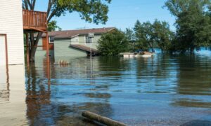
Developers can analyze landforms, assess flood risk, and comply with zoning laws more efficiently using LiDAR data.
- Agriculture and Environmental Monitoring
From irrigation planning to forest canopy analysis, farmers and scientists are turning to LiDAR for environmental insights.
LiDAR Mapping vs Traditional Surveying: What’s the Difference?
Accuracy and Efficiency Compared
LiDAR can collect millions of data points in minutes, whereas traditional methods might take days or weeks to gather the same level of detail.
Applications and Use Cases
- Traditional Surveying: Best for simple lot measurements or legal boundary verification.
- LiDAR Mapping: Ideal for complex, large-scale terrain modeling and infrastructure design.
Why LiDAR Mapping Matters for Local Projects in Bowling Green, KY
Local Terrain and Planning Challenges
Bowling Green’s diverse landscape—rolling hills, wooded areas, and urban zones—requires precise mapping for successful project planning.
Regulatory and Development Benefits
Planning departments increasingly rely on 3D mapping data for permitting, environmental reports, and disaster preparedness. LiDAR simplifies this.
What to Expect When Hiring a LiDAR Mapping Company
Typical Workflow and Project Timeline
- Initial Consultation
- Data Collection (via drone or scanner)
- Data Processing & Modeling
- Delivery of 3D maps and analytics
Questions to Ask Your Provider
- What kind of LiDAR system do you use?
- What’s the accuracy level?
- Can I get files in CAD or GIS format?
- How fast is your turnaround?
Future Trends in LiDAR Mapping
Emerging Technologies and AI Integration
New tools are using AI to automatically interpret LiDAR data—speeding up everything from vegetation classification to utility detection.
Broader Applications in Smart Cities and Infrastructure
LiDAR plays a huge role in smart planning—helping cities design roads, utilities, and transit systems more efficiently.
FAQs
1. What does LiDAR stand for?
LiDAR means Light Detection and Ranging.
2. Is LiDAR legal to use in Kentucky?
Yes. It’s a trusted and approved method for surveying and mapping.
3. How accurate is LiDAR mapping?
Most LiDAR systems are accurate to within a few centimeters—much better than traditional methods.
4. What’s the cost of LiDAR mapping services?
Depends on the size and complexity of your site, but prices typically range from $1,000 to $10,000+.
5. Can LiDAR be used in urban areas?
Yes! It’s excellent for cities, construction zones, and complex infrastructure.
6. How long does a typical LiDAR project take?
From data collection to delivery, expect anywhere from 3 days to 3 weeks depending on project scope.
Is LiDAR Mapping Right for Your Bowling Green Project?
If your project demands precision, speed, and reliable data—LiDAR is the smart choice. From surveying wide-open farmland to planning urban developments, LiDAR mapping gives you the tools to build smarter, safer, and faster.
And if you’re planning a project in Bowling Green, reviewing the local geology is an excellent first step. We highly recommend exploring the University of Kentucky’s Surficial Geologic Map of Bowling Green North for foundational insights that can guide your site analysis and planning decisions.
