Why Rising Landslide Risks Make Topo Surveys Essential
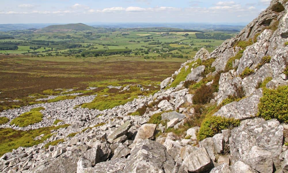
Kentucky has seen more attention on landslides over the past few years, and for good reason. Heavy rainfall, hilly ground, and changing land use create a real risk for both rural and growing communities. Now, the Kentucky Geological Survey (KGS) is building a new weather-based landslide forecasting model to help predict where the ground may […]
How a Viral Map Error Made LiDAR Mapping Essential

A few weeks ago, a simple online map error went viral. A homeowner posted a screenshot showing that her property line on a popular map app shifted nearly ten feet overnight. Neighbors panicked. Buyers got confused. Even agents argued in the comments. The debate spread fast, and it exposed a real problem: people trust online […]