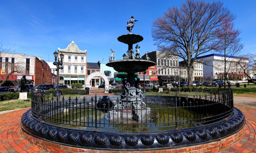
Bowling Green, Kentucky, is a city where the past lives vividly in every corner from Victorian-era architecture to landmarks of Civil War significance. As the community seeks innovative methods to protect its cultural legacy, LiDAR mapping has emerged as a powerful ally. By offering precision and non-invasive analysis, LiDAR mapping for historic preservation is revolutionizing the way we explore, document, and protect cultural sites.
Bridging Technology and Heritage in Bowling Green
📌 Why Cultural Preservation Matters in Kentucky’s Historic Landscape
Bowling Green sits in the heart of a region steeped in American history. From the Underground Railroad to antebellum estates and Civil War battlefields, these heritage sites form a vital part of Kentucky’s identity. However, environmental threats, urban development, and aging structures continually endanger their existence.
📌 Emergence of LiDAR as a Heritage Protection Tool
LiDAR (Light Detection and Ranging) is not new, but its application in archaeology and historic preservation is gaining momentum. Integrated LiDAR and land surveying solutions now provide powerful tools for documenting, analyzing, and protecting heritage sites without physical disturbance.
Applications of LiDAR in Historical and Cultural Site Protection
1. Uncovering Hidden Structures Beneath the Surface
In heavily wooded or overgrown areas, LiDAR reveals long-buried structures and forgotten foundations. It can identify settlement patterns, old pathways, and buildings no longer visible from ground level.
2. Monitoring Site Changes Over Time
LiDAR is invaluable in tracking structural deterioration, soil erosion, or human activity near historical sites. Repeated scans create a digital timeline of changes, helping historians intervene before permanent loss occurs.
3. Mapping Terrain Without Physical Disruption
Sensitive environments—like cemeteries or battlefields—can be studied without disturbing the land. This is critical for places considered sacred or where legal restrictions prohibit digging.
Historic Sites in Bowling Green Benefiting from LiDAR
1. Riverview at Hobson Grove
This beautifully preserved Victorian mansion has become a case study in modern preservation. LiDAR helps document the estate’s layout and surrounding grounds, supporting restoration efforts and educational tours.
2. Civil War-Era Locations and Battlegrounds
From campsites to field hospitals, Bowling Green played a strategic role during the Civil War. LiDAR has uncovered road traces and troop movement paths, offering deeper insight into regional military history.
3. Underground Railroad Routes and African American Heritage Sites
LiDAR assists researchers in locating and verifying suspected Underground Railroad paths and homes that offered refuge, providing physical evidence that supports oral histories and written records.
Benefits of LiDAR for Local Historians and Archaeologists
📌Preserving Data for Future Research and Education.
LiDAR scans serve as a digital archive, enabling future generations to study these sites even if the physical locations are lost to time or development.
📌Enhancing Grant Applications and Public Engagement.
Visual data from LiDAR enriches proposals for state and federal preservation grants. It also makes historical content more engaging for public presentations and educational programs.
📌Facilitating Legal and Zoning Protections.
Precise maps created by LiDAR, combined with professional land surveying services, are often used to establish legal boundaries and designations for protected status, such as historic landmarks or conservation easements.
Challenges in Adopting LiDAR for Heritage Work
- Cost and Accessibility of Equipment and Services. While costs have dropped, LiDAR remains a specialized service requiring skilled technicians and advanced processing software. For small organizations, this can be a hurdle.
- Need for Skilled Interpretation of Data. Raw point cloud data is complex. Historians and archaeologists must collaborate with geospatial analysts to interpret results accurately and apply them to their research.
How Bowling Green Is Leading by Example
📌 Partnerships with Local Universities and Preservation Groups
Institutions like Western Kentucky University are working alongside historical societies to conduct LiDAR surveys, interpret findings, and share knowledge through public forums and archives.
📌 Community Involvement and Digital Heritage Initiatives
Public history projects, funded by grants and community support, now include interactive maps and 3D visualizations derived from LiDAR. These tools are reshaping how residents connect with local history.
FAQs
1. Can LiDAR Detect Buried Structures or Artifacts?
LiDAR can detect changes in elevation and ground structure, revealing outlines of buried buildings or paths. It doesn’t “see” underground like radar but offers strong clues for further study.
2. Is LiDAR Safe for Fragile Historic Sites?
Yes. LiDAR is non-contact and non-invasive, making it ideal for delicate or protected sites.
3. How Can the Public Access LiDAR Maps or Data?
Many local projects publish LiDAR maps online through city or university portals. Public libraries and historical societies may also host exhibits or digital archives.
4. Who Owns the LiDAR Data Once It’s Collected?
Data ownership depends on the funding source. Publicly funded LiDAR often enters the public domain, while private firms may retain rights unless otherwise agreed.
5. Are There Laws Supporting LiDAR Use for Preservation?
While no federal law mandates LiDAR use, it is recognized in federal and state historic preservation guidelines as a best practice for documentation and survey.
