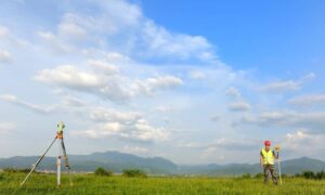
In fast-growing areas like Bowling Green, KY, road and bridge construction is happening all around us. Whether it’s expanding I-65, improving traffic flow on Scottsville Road, or working near the Barren River, accurate land data is essential. That’s where drone surveying comes in — offering fast, detailed insights without slowing down construction.
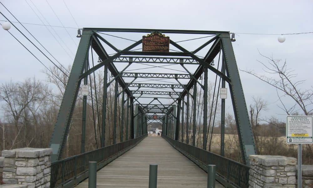
Why Drone Surveys Are Changing Infrastructure Projects
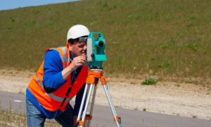
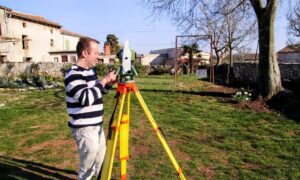
Traditional surveying methods often require boots on the ground — which can be dangerous or time-consuming on active roadways. Drone surveys, however, allow teams to capture data from above, creating precise maps and 3D models in a fraction of the time.
For Bowling Green, this means better planning for key routes like U.S. Route 31-W, KY 880 (Campbell Lane), and the Interstate 165 connector. As these roads see more traffic and construction, engineers and contractors need faster, safer ways to measure land and monitor progress.
Real Challenges in Bowling Green Infrastructure Today

Aging Bridges and Expanding Roads
Warren County’s rapid growth means local roads are under pressure. Some bridges, like those crossing Drakes Creek or Jennings Creek, need upgrades or replacements. Projects like these demand detailed surveys before design or construction can even begin.
Drone surveying provides a top-down view of current bridge conditions and surrounding terrain — without needing to shut down lanes or enter dangerous areas.
Environmental and Floodplain Concerns
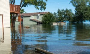
Parts of Bowling Green sit in low-lying or flood-prone zones. The city’s growth around places like Three Springs Road, Lost River Cave, and new subdivisions off Russellville Road adds complexity.
Drone technology allows surveyors to capture elevation data for flood-prone zones and identify environmental risks. This is critical for highway drainage design, erosion control, and working near wetlands or waterways.
Key Benefits of Drone Surveying for Road & Bridge Projects
Faster Turnaround Times
Drone surveying drastically cuts down the time needed to map large sites. Instead of weeks, data can be collected in a few days. This helps contractors keep their highway projects in Bowling Green on schedule.
Safer Data Collection
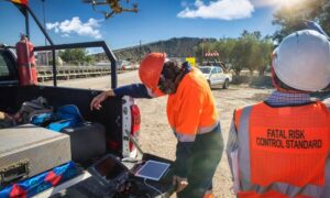
Surveying a busy intersection or bridge over a river can be risky. With drones, surveyors can capture high-resolution data from a safe distance — avoiding traffic, steep terrain, or active construction zones.
High-Accuracy Results
Modern drones use GPS and LiDAR (light detection and ranging) sensors to create detailed, centimeter-level accurate maps. These results help engineers design roads, ramps, and support structures with confidence.
Ongoing Project Monitoring
Beyond initial surveys, drones are also useful for regular progress updates. This is especially helpful for multi-month projects on roads like Veterans Memorial Lane or U.S. 68, where timelines and budgets are tight. Aerial updates keep teams aligned and allow project managers to spot issues early.
Where Drone Surveys Are Already Making an Impact
In Bowling Green and Warren County, several infrastructure efforts benefit from drone support:
- Campbell Lane Widening: As this busy corridor grows with new stores, schools, and neighborhoods, drone mapping helps plan safer intersections and smoother traffic flow.
- I-65 Bridge Work: Overpasses and on-ramps require careful planning. Drones help engineers study slope conditions, soil erosion, and nearby property impacts.
- Greenways and Multi-Use Trails: Expanding pedestrian paths along Kereiakes Park and Hobson Grove need surveys that minimize ground disruption. Drone surveying is perfect for this.
How Drone Surveying Works (Simplified)
- Planning – A licensed surveyor creates a flight plan tailored to your site.
- Data Collection – Drones fly over the area and gather hundreds of images or LiDAR data.
- Processing – Software stitches together images into accurate maps, elevation models, and measurements.
- Delivery – You receive the results in formats usable for engineering, permitting, and reporting.
The whole process can often be completed in just a few days — a huge advantage for tight construction deadlines.
Why Work With a Local Surveying Team
Hiring a team based in or near Bowling Green ensures they understand:
- Local zoning and development codes
- Warren County environmental guidelines
- Kentucky Transportation Cabinet (KYTC) standards
- Terrain patterns specific to this part of southern Kentucky
Local crews also respond faster to weather windows or last-minute site changes — which is crucial for active roadwork.
Final Thoughts
As Bowling Green continues to grow, the need for modern, efficient infrastructure solutions becomes more urgent. Whether it’s replacing a bridge, widening a highway, or planning drainage for new developments, drone surveying in Bowling Green helps make smart planning possible.
If you’re a contractor, city planner, or engineer managing road or bridge projects in the area, drone surveying can save time, reduce risk, and give you the data you need to move forward confidently.
