How Accurate Land Surveys Protect Property Investments

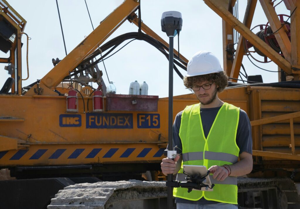
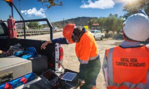
Land surveyor in Bowling Green KY using GPS equipment on a construction site

When it comes to owning property, small mistakes can lead to big problems. A missing boundary line, a misplaced fence, or unclear land records can turn into costly legal issues. That’s why accurate surveys matter—especially when they’re done by a skilled land surveyor.

Whether you’re developing land or finalizing a purchase, a survey helps confirm what’s physically present—and what legally belongs to you.

What Makes a Land Survey “Accurate”?

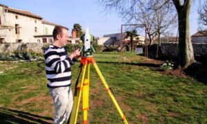
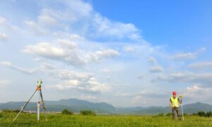
A professional land surveyor uses tools like GPS, total stations, and computer software to map out land boundaries and features. But more than just technology, accuracy comes from following strict legal standards and carefully checking property records.

The result? A reliable document that shows exactly where property lines, easements, and improvements are located—something every property owner, buyer, or developer can depend on.

Real Problems Caused by Inaccurate or Missing Surveys

Skipping a survey or relying on outdated information can lead to major issues, such as:

  • Boundary disputes with neighbors
  • Structures built across property lines
  • Permit delays or rejections
  • Trouble during refinancing or title transfers

In many cases, these problems only surface once it’s too late—costing property owners time and money.

When Should You Hire a Land Surveyor?

Here are some common situations where bringing in a licensed land surveyor is a smart move:

  • Before buying or selling land
  • Prior to building fences, sheds, or new structures
  • When dividing or merging land parcels
  • After natural changes like erosion or flooding

Surveys at these stages can save you from headaches down the line. An experienced land surveyor near you can guide you through each step to ensure everything is done right the first time.

Why Local Knowledge Matters: Land Surveyor in Bowling Green KY

If you own or are buying property in South Central Kentucky, working with a land surveyor in Bowling Green KY offers a big advantage. Local professionals understand the region’s terrain, zoning laws, and property history—whether you’re dealing with farmland, residential lots, or commercial sites.

A surveyor with regional experience helps ensure your project meets city and county requirements from the start.

Final Thoughts: Accuracy is Worth It

Hiring a qualified land surveyor is one of the best ways to protect your property investment. It brings clarity to land records, helps avoid legal trouble, and builds trust with lenders, buyers, and neighbors.

In growing communities like Bowling Green, accurate surveys play a vital role in responsible land use and development—helping you move forward with confidence.
author avatar
Surveyor

More Posts

Residential neighborhood with partially flooded homes illustrating the importance of an elevation certificate for flood risk and mortgage protection.
flood damage
Surveyor

Why You Need an Elevation Certificate Before Closing

If you’ve tried to buy or refinance a home in Bowling Green lately, you’ve probably heard the term elevation certificate more than once. It’s more than a formality—it’s verified proof of how safely your home stands above potential flood levels. And this week, that proof matters more than ever. Heavy

Read More »
Drone surveyors on a construction site using UAV equipment with drone flying overhead
land surveying
Surveyor

Drone Surveyors Face Shortages: How Crews Stay on Track

In the last week, surveyors online have been buzzing about a growing problem: drones breaking down with no replacements in sight. One post on Reddit described a surveyor who crashed his Phantom 4 Pro, tried to upgrade to a Mavic 3 Enterprise, and then discovered the drone was on backorder

Read More »
A licensed land surveyor measuring a home’s elevation to prepare a flood elevation certificate for lowering insurance costs
flood damage
Surveyor

Flood Elevation Certificate: Lower Your Insurance Costs

Big news hit the flood insurance world last week. A U.S community earned a major discount for its homeowners when FEMA raised its rating in the National Flood Insurance Program. Families there will now save up to 35% on their premiums. That’s a big win, and it made headlines across

Read More »
Land surveyor conducting a property survey in open karst terrain with rolling hills in the background
boundary surveying
Surveyor

Property Survey Guide: Protecting Against Sinkhole Risks

Buying or developing land can be exciting, but it also comes with unique risks. This part of Kentucky is famous for its rolling hills and underground caves, but it’s also known for sinkholes. That’s why a property survey does more than confirm your boundary lines—it helps protect you from surprises

Read More »
Drone land surveying aerial view showing residential properties and clear property boundaries for accurate land data.
land surveying
Surveyor

How Statewide Drone Land Surveying Is Changing Property Data

Have you ever wondered how surveyors measure land and property? Well, now they are using something pretty cool drone land surveying. In Bowling Green, a new statewide program is using drones to collect property data in a faster and better way than ever before. What Is Drone Land Surveying? Drone

Read More »
Professional land surveyor using a total station at a commercial construction site to ensure accurate parking lot and property surveying in Bowling Green
land surveying
Surveyor

Land Surveying for Parking Lots and Commercial Properties

Planning to build a parking lot or a commercial property? Before anything else, there’s one step you shouldn’t skip: land surveying. It may not seem exciting, but it’s one of the most important parts of any construction project. Whether you’re working in a busy city, a small town, or a

Read More »