Flood Elevation Certificate: Lower Your Insurance Costs
Big news hit the flood insurance world last week. A U.S community earned a major discount for its homeowners when FEMA raised its rating in the National Flood Insurance Program. Families there will now save up to 35% on their premiums. That’s a big win, and it made headlines across the country. But it raises […]
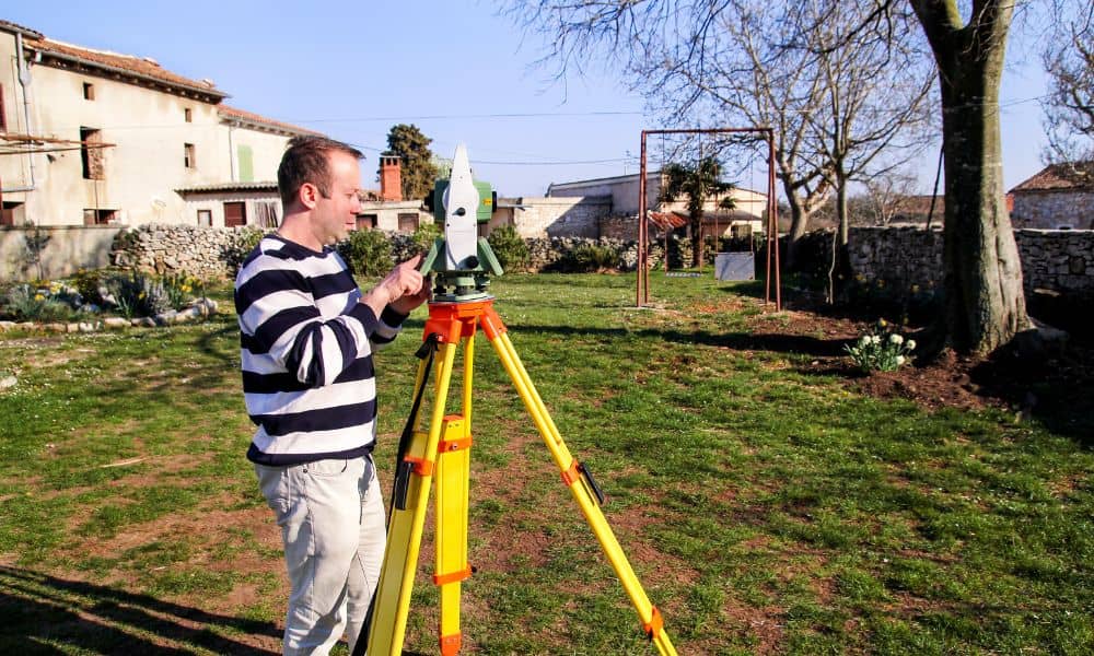
Property Survey Guide: Protecting Against Sinkhole Risks
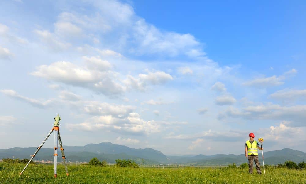
Buying or developing land can be exciting, but it also comes with unique risks. This part of Kentucky is famous for its rolling hills and underground caves, but it’s also known for sinkholes. That’s why a property survey does more than confirm your boundary lines—it helps protect you from surprises hiding beneath the surface. Understanding […]
How Statewide Drone Land Surveying Is Changing Property Data
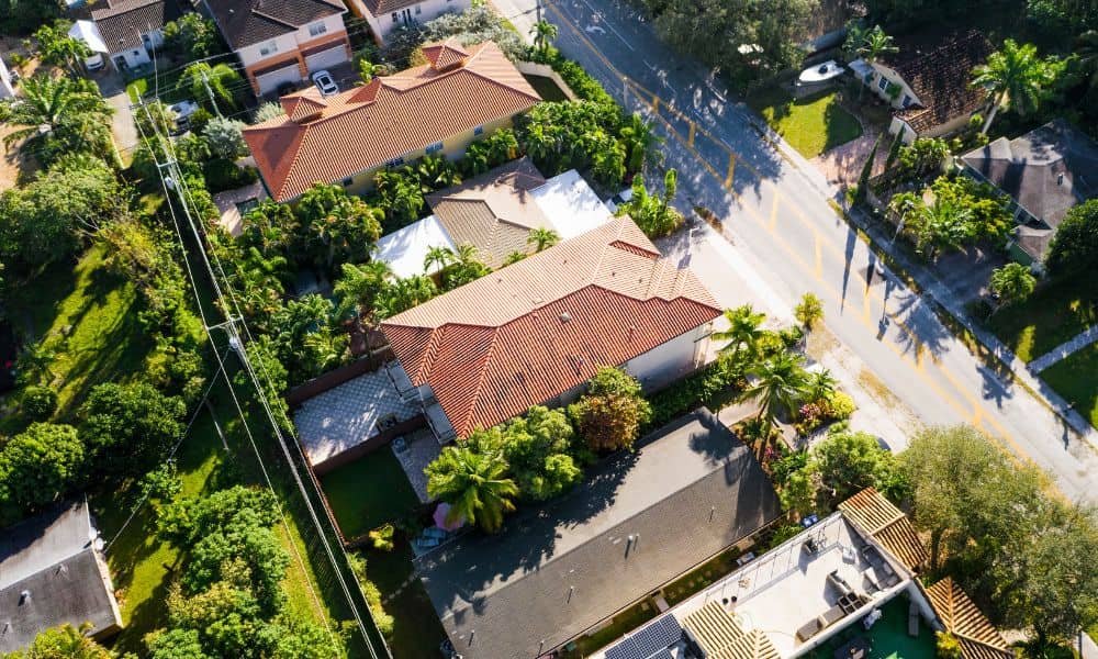
Have you ever wondered how surveyors measure land and property? Well, now they are using something pretty cool drone land surveying. In Bowling Green, a new statewide program is using drones to collect property data in a faster and better way than ever before. What Is Drone Land Surveying? Drone land surveying means using small […]