Solar Storms Can Throw Off Your Boundary Survey

The northern lights glowing over Kentucky last weekend were a rare sight. Social media lit up with photos from Bowling Green to Louisville as the sky turned pink and green. But while everyone admired the show, local surveyors were watching something else—their GNSS readings. A boundary survey relies on satellite data to pinpoint property lines […]
Why You Need an Elevation Certificate Before Closing
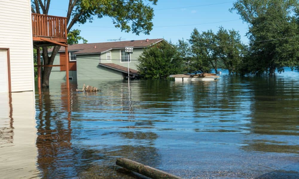
If you’ve tried to buy or refinance a home in Bowling Green lately, you’ve probably heard the term elevation certificate more than once. It’s more than a formality—it’s verified proof of how safely your home stands above potential flood levels. And this week, that proof matters more than ever. Heavy rain and flood advisories have […]
Drone Surveyors Face Shortages: How Crews Stay on Track

In the last week, surveyors online have been buzzing about a growing problem: drones breaking down with no replacements in sight. One post on Reddit described a surveyor who crashed his Phantom 4 Pro, tried to upgrade to a Mavic 3 Enterprise, and then discovered the drone was on backorder and stuck in customs. He […]