Why Industrial Growth Is Raising ALTA Land Survey Needs

Bowling Green is growing fast. New warehouses, factories, and shipping centers keep opening across the area. Because of this growth, more commercial land deals now move quickly. However, faster deals also bring more risk. Buyers and lenders no longer feel safe using only old maps or simple land records. That is why more industrial property […]
How Drone Land Surveying Is Changing Surveying Services
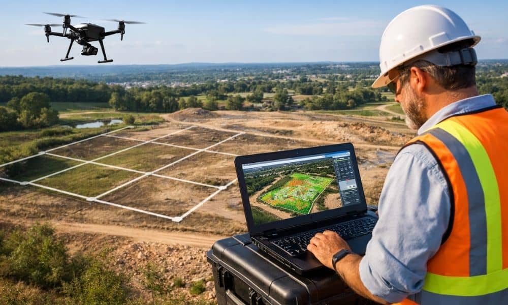
Drone land surveying is no longer a “nice-to-have” service. In 2026, it is shaping what surveying companies can deliver, how fast they work, and what clients expect from them. Property owners, developers, and builders now want more than a basic map. They want clearer insight, fewer delays, and better decisions early in a project. Because […]
How to Get a FEMA Elevation Certificate: Step-by-Step Guide
If your lender, insurance agent, or builder recently told you that you need a FEMA elevation certificate, you may feel confused or stressed. Many homeowners in Bowling Green find themselves in this situation without much warning. One moment everything seems ready, and the next, a new document is holding things up. The good news is […]