Have you ever wondered how surveyors measure land and property? Well, now they are using something pretty cool drone land surveying. In Bowling Green, a new statewide program is using drones to collect property data in a faster and better way than ever before.
What Is Drone Land Surveying?
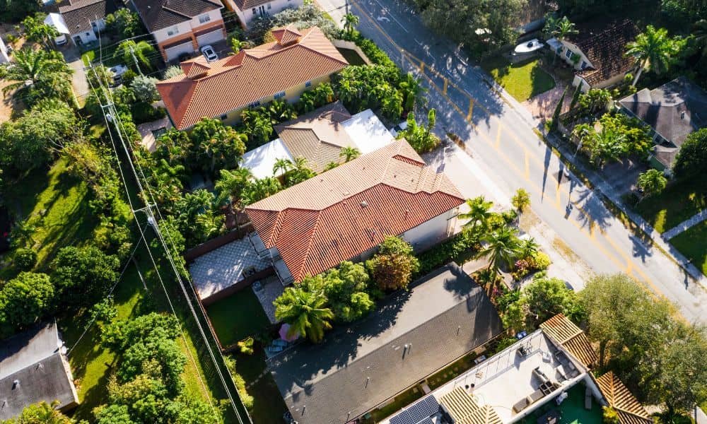
Drone land surveying means using small flying machines called drones to take pictures and measurements of land from above. These drones have special cameras and sensors that help gather very detailed information about the ground, like its shape and size.
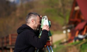
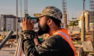
Before drones, surveyors had to walk around the property with tools. This took a lot of time and effort. Now, drones can fly over the land and collect all the data much faster and with great detail.
What Is Kentucky’s KYFromAbove Program?
Kentucky started a program called KYFromAbove that uses drones and other technology to take pictures and scan the whole state from the sky. This includes Bowling Green and the nearby areas.
What’s really great is that the state made this data free and easy for anyone to use through a website called the KYFromAbove Explorer. Surveyors, builders, and even regular people can look at these high-quality aerial pictures and maps online whenever they want.
Why Does This Matter for Property in Bowling Green?
This new drone data is a big deal for many reasons:
1. Faster and More Accurate Surveys
Surveyors can check out the property from their computers before visiting the site. This helps them plan better and do their work faster and more precisely.
2. Clearer Property Boundaries
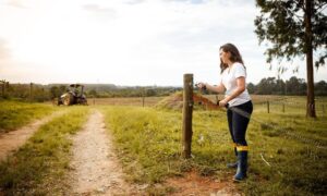
Property lines can sometimes be confusing. With drone data, surveyors can see natural markers like fences, trees, and land shapes that show where one property ends and another begins. This helps avoid problems between neighbors.
3. Better Flood Risk Information
The drone scans help surveyors measure the height of the land more accurately. This information is important for flood insurance and building safe homes.
4. Easier Construction and Development
Builders and developers can use the drone data to plan new homes, roads, or businesses. It shows the land’s shape and any problems that might get in the way. This means fewer surprises and delays during construction.
Who Benefits from This Program?
- Property Owners and Buyers. If you want to buy or sell land or a house, this drone data helps make sure the property lines are clear and the land is safe.
- Real Estate Agents and Title Companies. They use survey data to finish deals quickly and avoid problems after the sale.
- Surveyors and Builders. They save time and get better information, which helps them do their jobs well.
How Do Surveyors Use Data?
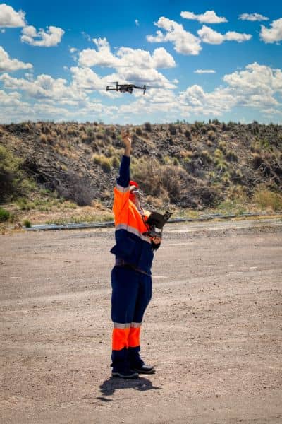
The data from KYFromAbove doesn’t replace surveyors—it actually makes their job easier. Surveyors start by studying the aerial maps to get a good idea of the land before heading out. Then, they visit the property to check important details up close.
Many surveyors also use drones themselves to gather even more detailed information that the state data might miss. By combining the state’s aerial images with their own drone flights, experienced drone land surveyors can provide quicker and more accurate surveys for things like loan approvals, boundary checks, and construction planning.
This mix of technology and hands-on work helps make sure the results are reliable and the whole process goes smoothly.
Questions to Ask Your Surveyor
When hiring a surveyor, you can ask:
- Do you use KYFromAbove drone data?
- How does drone land surveying help with my property?
- Can you get an elevation certificate with this data?
- How will this data help with my loan or building project?
A good surveyor will explain how drones make the survey better.
What’s Next for Land Surveying in Bowling Green?
Drone land surveying is becoming normal in Kentucky. The KYFromAbove program shows how technology can help everyone get better, faster, and cheaper property data.
As the technology improves, expect even more accurate and quick surveys. Whether you own land, want to build, or work in real estate, knowing about drone surveying is important.
Final Thoughts
Kentucky’s KYFromAbove program is changing how land surveying works. It gives free access to detailed drone data that makes property surveys easier and more accurate.
If you need a survey soon, ask if your surveyor uses this data. The future of property surveying is flying high.

