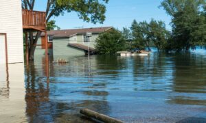
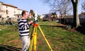
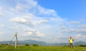
If you live on rural land near Bowling Green, KY, you know that drainage issues can be a real headache. From soggy yards to erosion washing out driveways, it’s a common challenge in this part of Kentucky. That’s why getting a topographic survey before starting any major work on your property is a smart move. It helps you understand how water flows across your land—so you can fix small problems before they turn into big ones.
What Is a Topographic Survey?
A topographic survey maps out the surface features of a property, showing both natural terrain (like hills and valleys) and man-made features (like buildings, fences, and ditches). More importantly, it shows elevation changes—so you can see how water flows across your land.
This type of survey is especially useful for properties in areas like Alvaton, Plano, Rockfield, and Richpond, where slope, soil type, and rural infrastructure often impact water movement.
Why Drainage Is a Common Problem in Southcentral Kentucky
1. Clay Soils That Don’t Drain Well
Much of the soil in the Bowling Green area contains clay, which holds water longer and drains more slowly than sandy or loamy soils.
2. Flat Terrain with Hidden Low Spots
Even land that appears flat can have slight depressions where water collects. These low areas can turn into muddy messes or flood zones after storms.
3. Older Properties and Changing Land Use
Rural properties often change hands or get subdivided over time, especially in places like Smiths Grove or near Scottsville Road. Previous drainage plans may no longer work with the land’s current use.
How a Topographic Survey Solves Drainage Problems
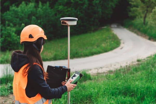
It Maps Elevation and Slope Accurately
Drainage problems often stem from subtle changes in land slope that the eye can’t detect. A topographic survey provides detailed elevation data, so you know exactly where water flows—or where it gets stuck.
It Helps With Grading Plans
If you’re planning to build a home, barn, or driveway, proper grading is essential. A topographic survey guides grading plans that direct water away from structures and toward safe runoff zones.
It Supports Stormwater Design
In growing rural areas around Bowling Green, local regulations may require stormwater management plans—especially for new builds. Engineers and developers use topographic data to design ditches, swales, retention ponds, and more.
A Real Example from a Landowner Near Richpond
A property owner in Richpond experienced repeated flooding in their side yard after moderate rain. They assumed it was due to a clogged culvert. But after ordering a topographic survey, they learned the slope of the neighboring lot directed water right onto their property.
With that data, they were able to regrade part of the yard and install a shallow swale—solving the issue without costly drainage systems.
Building on Rural Land? Start with a Topographic Survey
Before you break ground on rural land—whether in Plano, Rockfield, or Alvaton—it’s smart to get a topographic survey before building. This ensures you understand how your land slopes, where water naturally flows, and how best to place structures or driveways to avoid future drainage issues.
- Your home or barn won’t sit in a low-lying flood zone
- Driveways and access roads have proper slope
- Septic systems and drain fields are placed appropriately
- Erosion-prone areas are identified before problems begin
Should You Also Consider an ALTA Survey?
If you’re buying or developing land with legal complications—like shared driveways, access roads, or utility easements—you may also need an ALTA survey. While a topographic survey shows the land’s physical features, an ALTA survey shows legal boundaries and recorded easements.
Some buyers choose to get an ALTA survey along with a topographic survey to fully understand both the legal and physical aspects of their property.
When Should You Get a Topographic Survey?
Consider scheduling a topographic survey if:
- Your land holds water after rain
- You see signs of erosion near roads or ditches
- You plan to build, clear, or grade rural property
- You need a stormwater drainage plan for permitting
- You want to prevent future water damage
Know Your Land Before Water Becomes a Problem
Drainage problems don’t fix themselves—and guessing rarely works. A topographic survey gives you and your contractor the insight needed to design smart, lasting drainage solutions that protect your land and investment.
Need help with drainage or planning to build on rural land?
Talk to a local surveyor in Bowling Green today about getting a topographic survey. It’s a simple step that can prevent major headaches down the road.
