
Can LiDAR Mapping Support Karst Terrain Site Planning?
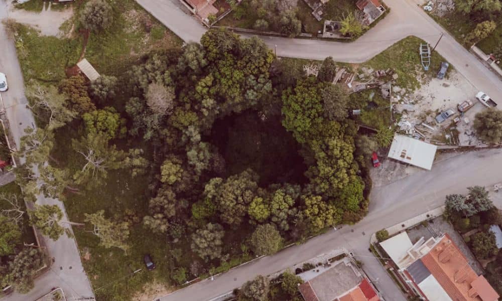
Yes. LiDAR mapping can support karst terrain site planning by showing shallow dips and closed low spots that are hard to see from the ground. It works best as an early planning tool that points your team to the places that need closer study. In Bowling Green, limestone sits under much of the ground, so […]
Can Aerial Surveying Support Airport Height Reviews?

Planning a building, tower, or crane near an airport? You may need an airport height review first. This review checks if your structure could get in the way of aircraft. Aerial surveying can help. It gives you accurate elevation data for your site and your structure. This matters most to developers, property owners, architects, and […]
Drone Surveyors Face Shortages: How Crews Stay on Track
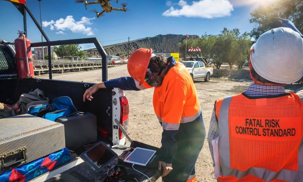
In the last week, surveyors online have been buzzing about a growing problem: drones breaking down with no replacements in sight. One post on Reddit described a surveyor who crashed his Phantom 4 Pro, tried to upgrade to a Mavic 3 Enterprise, and then discovered the drone was on backorder and stuck in customs. He […]