
Can LiDAR Mapping Support Karst Terrain Site Planning?
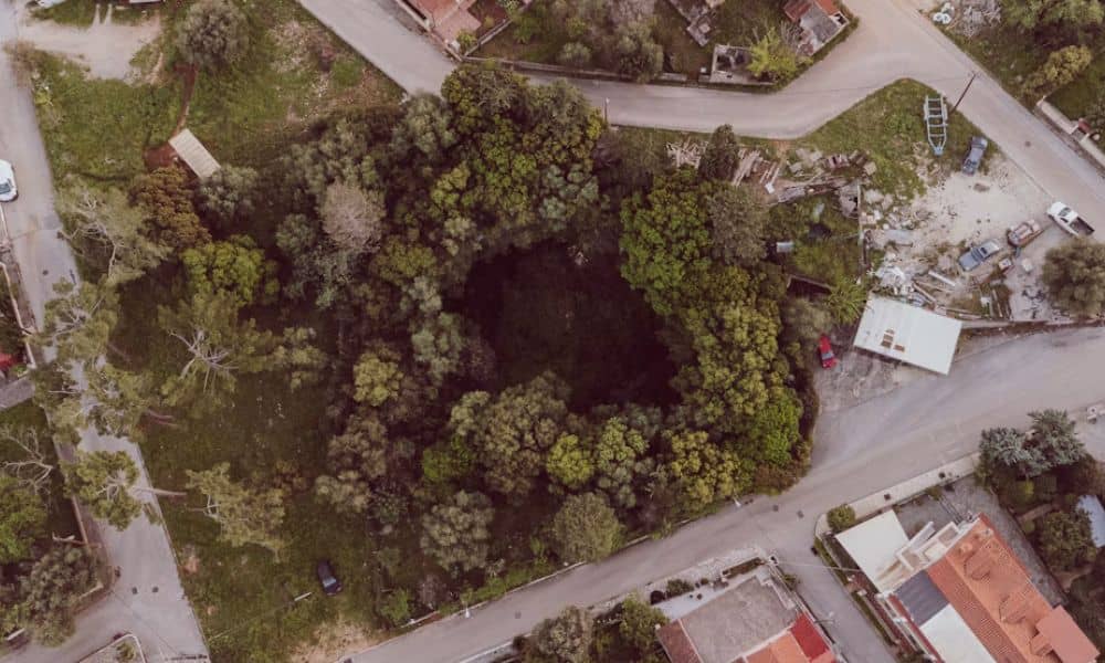
Yes. LiDAR mapping can support karst terrain site planning by showing shallow dips and closed low spots that are hard to see from the ground. It works best as an early planning tool that points your team to the places that need closer study. In Bowling Green, limestone sits under much of the ground, so […]
How Drone Land Surveying Is Changing Surveying Services
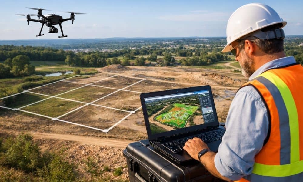
Drone land surveying is no longer a “nice-to-have” service. In 2026, it is shaping what surveying companies can deliver, how fast they work, and what clients expect from them. Property owners, developers, and builders now want more than a basic map. They want clearer insight, fewer delays, and better decisions early in a project. Because […]