
Can Aerial Surveying Support Airport Height Reviews?

Planning a building, tower, or crane near an airport? You may need an airport height review first. This review checks if your structure could get in the way of aircraft. Aerial surveying can help. It gives you accurate elevation data for your site and your structure. This matters most to developers, property owners, architects, and […]
How Drone Land Surveying Is Changing Surveying Services
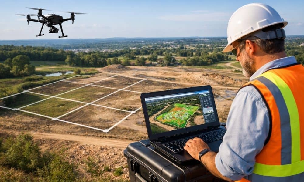
Drone land surveying is no longer a “nice-to-have” service. In 2026, it is shaping what surveying companies can deliver, how fast they work, and what clients expect from them. Property owners, developers, and builders now want more than a basic map. They want clearer insight, fewer delays, and better decisions early in a project. Because […]