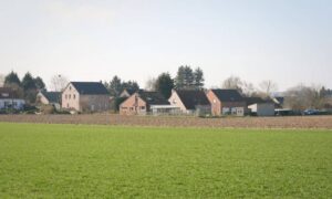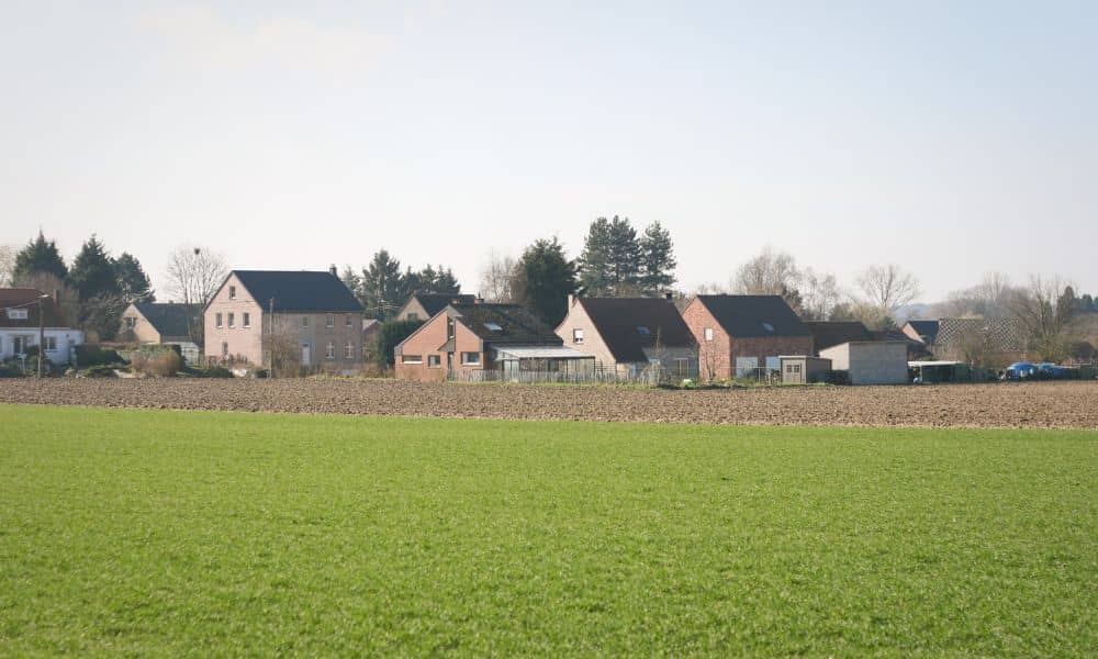
Some homes sit right where the neighborhood stops and the farmland starts. The city splits Fayette County into an Urban Service Area and a Rural Service Area, so a backyard can end at a hayfield, a cattle pasture or a horse paddock. If you plan to build, plant or fence near that edge, a residential survey shows where your lot ends and the farm begins. It also shows what sits near that line and which recorded items could shape your plans.
Where the Residential Lot Meets Agricultural Land
The line behind your house separates two very different kinds of property. Your lot is likely one of many lots on a subdivision plat. The farm next door may be a large tract with a deed that goes back generations. Those two records often came from surveys made decades apart.
What you see on the ground can mislead you. Farmers build plank fences, wire fences and hedgerows to hold livestock and split fields. They don’t always build them on the property line. A tree line or an old gate might look like a border, yet the true line may run a few feet away in either direction.
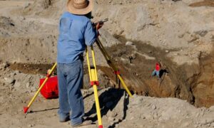
A residential survey sorts this out. The surveyor looks for boundary monuments, which are iron pins, pipes or other markers that earlier surveyors set. They measure between those markers and compare the results to the written records. That gives you a line based on evidence instead of a guess based on where the grass changes.
Compare the Home’s Plat With the Adjoining Farm Tract
Your plat and the farm’s deed should describe the same shared line. Sometimes they don’t agree. A plat is a recorded map that shows how a developer split a larger piece of land into lots. It lists lot lines, lengths, directions and often easements.
The farm’s deed may describe the land in metes and bounds. That style starts at a fixed point and walks around the tract one line at a time. When a developer carved lots out of former farmland, the new plat should have matched the farm’s remaining boundary. Old measurements, lost markers and different starting points can leave the two records a little apart.
A mismatch can show up in two ways. A gap means neither record claims a thin strip of land. An overlap means both records claim the same strip. The surveyor weighs both documents against the field evidence and marks on the drawing where the records agree and where they differ. A survey can’t settle a title question on its own, so a serious gap or overlap may call for a title company or real estate attorney.
Identify Improvements That Reach Toward the Agricultural Edge
Homeowners near open land tend to spread toward it. A garden bed creeps a few feet out. Someone mows a strip past the yard, and a shed ends up in the back corner because the space looks empty.
A residential survey can locate these features and show how close each one sits to the boundary. The surveyor needs to know what to look for, though. Items worth pointing out include:
- Sheds, play sets and dog runs near the back line
- Fences, gates or plank sections that either owner built
- Gardens, compost piles or mowed strips that reach past the yard
- Downspout lines or drain pipes that empty toward the field
- Trees that either owner planted along the edge
Things can reach the other way too. A farm fence, a water line for a stock tank or a gravel lane might sit partly on your lot. Once you know where each item sits, you can talk with the farm owner using facts instead of guesses.
Check Recorded Restrictions Before Planning Near the Farm
Recorded restrictions can limit what you build near the back line even when the land is yours. The subdivision plat may show drainage easements, utility easements or building lines along the rear of the lot. Deed restrictions or neighborhood covenants may add rules about fences, sheds or outbuildings. Your survey can show easements of record when the surveyor has the right title documents.
The farm may carry its own limits. Lexington runs a Purchase of Development Rights program, often called PDR, where a city board buys a farm owner’s right to ever develop the land commercially. The recorded conservation easement stays with the property no matter who owns it later. If the tract behind you is in the program, the easement keeps it as farmland, which can matter when you think about views or an offer to buy a strip from your neighbor.
Ask the surveyor which records they plan to review. Some recorded items only appear in a title report, so a survey drawn from the plat alone may miss them. If you bought the home recently, your closing papers may include a title policy that lists recorded matters.
Use the Residential Survey to Set the Next Project Decision
A finished survey should tell you whether your project can go where you want it. For a new fence, it shows how far to stay inside the line. For a shed, pool or patio, it helps you check the spot against easements and building lines. For a tree row or garden, it shows where your mowing and planting should stop.
Some results point to a talk with the farm owner first. An old fence on the wrong side of the line is one example. So is a farm gate that opens onto your lot or a shared fence that one of you wants to replace. Bring a copy of the survey so both of you look at the same facts.
Other results call for more help. A gap or overlap in the records may lead you to a title company or attorney. A project that needs exact placement may call for construction staking, where the surveyor marks the build location on the ground. Your residential survey gives you the starting point for each of those steps.
Frequently Asked Questions
Should I tell the surveyor that my backyard borders a farm?
Yes. Mention the farm when you call and describe what you want to do near the back line. That tells the surveyor which part of the lot needs the closest look and which neighboring records to pull. It can also affect the scope of the job, so sharing it early helps you get an accurate quote.
Can a neighboring agricultural tract be protected from future development?
It can. Lexington’s PDR program accepts farms of at least 20 acres, or adjoining tracts that together reach that size, and a board appointed by the mayor oversees it. Not every farm takes part. Check the city’s PDR resources or ask a title professional about a specific tract.
Does farmland beside my house mean my property is agriculturally zoned?
No, not by itself. Each parcel carries its own zoning, and a neighbor’s use of their land doesn’t change yours. Look up your parcel through the city’s zoning resources or call the planning office before you plan a build.