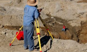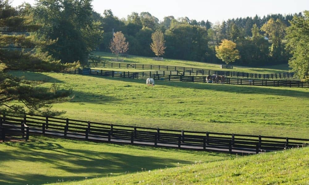
Splitting a horse farm into smaller pieces changes more than a line on paper. Barns, fences, riding rings, and shared driveways all need to keep working once the new lines are drawn. A property survey shows where the current boundaries sit and how the farm’s features relate to them. This is the first step before anyone touches a plat.
In Lexington, this comes up a lot on horse farms near the edge of the Urban Service Area. A family might be dividing land among heirs. An owner might be selling off part of the farm. Someone might be shifting lines to support a new equine business. In each case, the property survey comes first. Skipping it can lead to problems later during permitting or construction.
Map the Horse Farm Before Redrawing Parcel Lines
A property survey starts by finding the existing boundary. It also maps what sits on the land near that boundary. This includes barns, run-in sheds, fencing, gates, paddocks, wells, and other structures tied to how the farm works today.
This step matters because horse farms rarely have simple, square boundaries. Many old tracts grew over time through several land purchases. Because of this, the surveyor may find that the deed does not match the fence line on the ground. A barn might sit closer to a boundary than the owner thought. Mapping these details first gives everyone a clear, shared starting point. That includes the surveyor, the owner, and any engineer or planner working on the project.
The survey also checks for monuments. These are the physical markers that show where corners and lines fall. On older farms, some markers may be missing, buried, or moved after years of farm work. Finding and confirming these markers is part of building an accurate map before anyone plans new lines.
Fit New Parcel Lines Around Equine Operations
Once the map is done, new lines can be planned around how the farm actually works. A line that looks clean on paper can still cut through a paddock. It can split a barn from its turnout area. It can separate a well from the parcel that needs it.
When planning equine parcel lines, a surveyor usually checks how the new lines affect:
- Barns, run-in sheds, and equipment storage
- Fenced paddocks and pasture areas
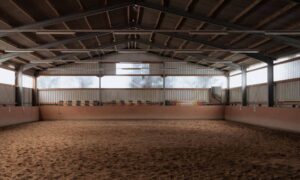
- Riding rings, wash racks, and other fixed equine features
- Water sources for horses, including wells and ponds
Reconfiguring a farm means balancing two things. First, what the owner wants, such as a new homesite, a split between a working farm and a home lot, or land ready for a future buyer. Second, what the current farm layout can support without costly changes. Catching these conflicts during the survey is much cheaper than finding them after the plat is already recorded.
Account for Shared Access and Farm Infrastructure
Horse farms often share things that were never a problem under one owner. Driveways, farm lanes, fence lines, and sometimes water lines can cross what becomes a new boundary.
A property survey shows exactly where these shared features sit. This helps figure out if a new parcel needs a recorded easement to keep its access. Without that step, a new parcel could end up cut off from the road. A fence could end up partly on land it no longer belongs to.
Utility lines are worth checking too. Some farms run electric or water lines to a barn or second home across land that will become a neighbor’s parcel after the split. Checking these paths during the survey gives the owner time to set up any needed easement agreements before the split is final.
Check Agricultural Easements Before Reconfiguring Farms
Many horse farms carry conservation or agricultural easements. These easements can limit how the land is divided, developed, or used going forward. They can affect where new lines are allowed to fall, how many parcels can be created, and what each parcel can be used for.
Before finishing a reconfiguration plan, check whether an easement applies to the property. Review its terms with the group that holds the easement or with an attorney who knows the agreement well. A property survey can show where the easement boundary sits on the land. This helps clarify which part of the farm it affects. Easement rules vary from one agreement to the next, so always confirm the details with the group that holds it rather than guessing based on a neighboring farm.
This step can shape the whole plan. A line that works well for access and infrastructure may still need to move if it falls inside a restricted easement area.
Prepare Survey Data for Plat Review
Once new lines are set, the survey data supports the plat that goes through local review. This plat usually needs to show the new boundaries, any easements on the property, access points, and enough detail for reviewers to confirm the split meets the rules that apply.
Review rules can depend on the specific parcels involved. This includes things like Urban Service Area status, minimum lot size rules, and whether the property has an agricultural or conservation easement. Since these factors change from property to property, confirm current rules with the local office or a professional who knows Fayette County review steps before you submit.
Having accurate survey data ready before you submit tends to keep the review moving. Reviewers check the plat against recorded boundaries, easements, and access. A survey that already accounts for these details lowers the chance of a request for changes.