If you already have an elevation certificate for a property, you might think that document covers what your builder or engineer needs. Sometimes it does. Often it doesn’t. You may not notice the gap until a plan reviewer or contractor asks a question the certificate can’t answer.
An elevation certificate and site elevation data are not the same thing. One shows a building’s elevation for flood risk purposes. The other shows how the ground rises and falls across a whole property. That second piece is what design and construction work actually depends on. Knowing which one you have, and which one your project still needs, can save you time once permitting or design work starts.
What an Elevation Certificate Can Confirm for a Site
An elevation certificate records the height of a specific building at a few set points, usually the lowest floor. It also lists reference elevations tied to the property. This document supports FEMA’s flood insurance program. Its main job is to help with flood insurance ratings or floodplain paperwork.
For a property, that means the certificate can confirm things like the lowest floor height of an existing building. It also shows how that height compares to the base flood elevation set for the site. Lenders, insurance companies, and floodplain officials use this data to answer one clear question about flood risk.
What it can’t do is describe the whole property. An elevation certificate does not show contours, slope, drainage paths, or how the ground changes from one corner of the lot to another. It’s a snapshot of a building, not a picture of the land around it.
Where Elevation Certificate Data Stops Short of Design Needs
Construction planning usually needs more than a few elevation points. An architect or engineer working on a new building, an addition, or a site redesign needs to understand how the ground behaves across the whole property. A handful of points on one structure won’t give them that.
This is where an elevation certificate reaches its limit. It wasn’t made for grading plans, drainage design, or foundation layout. It won’t show a design team where water tends to collect. It won’t show the highest and lowest points on the lot. It won’t tell them how much dirt might need to be added or removed.
Property owners sometimes hand over an old elevation certificate and expect it to answer these questions. Then they learn the design team needs a different kind of survey. That’s not a problem with the certificate. The document was simply never meant to cover that ground.
When Proposed Construction Needs Additional Site Elevation Data
A few signs tend to show that a project needs more than an existing elevation certificate can offer.
- The project involves new construction, an addition, or regrading, not just documenting a building that already exists
- The design team needs elevation points across the whole property, not just one building
- Drainage, grading, or stormwater planning is part of the project
- The site has any real slope or uneven ground that could affect the foundation or utilities
- The elevation certificate on hand is old enough that site conditions may have changed
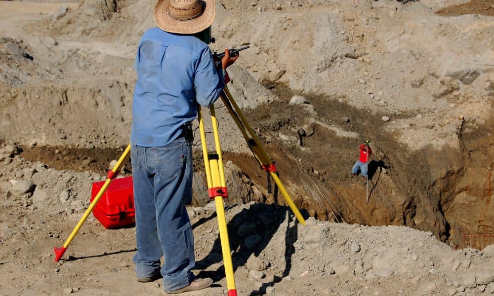
When any of these apply, a topographic survey or another form of site elevation data usually joins the planning process. This kind of survey captures elevation across the full property instead of a few fixed points. That gives designers what they need to plan grading, drainage, and building placement with real confidence.
How Site Plans and Elevation Information Work Together
Elevation data feeds directly into a site plan, but the two are not the same thing. A site plan shows the layout of a project. That includes buildings, parking, access points, and utilities. Elevation data is one of the pieces that makes an accurate site plan possible.
When a design team has good elevation information for the whole property, they can set proposed floor heights with confidence. They can plan how stormwater will move across the site. They can also spot where grading will be needed before construction even starts. Without that information, a site plan gets built on guesswork instead of real ground conditions. That raises the odds of costly changes once construction begins.
For a project moving through design and permitting, having both a clear site plan and solid elevation data helps the review go more smoothly. Reviewers can see how the proposed work fits the real conditions on site instead of guessing at them.
Louisville Floodplain Review Can Change the Documentation Needed
Louisville MSD handles floodplain review for properties in Jefferson County. The paperwork needed can shift depending on the project. A simple flood insurance request may only need an elevation certificate. A larger development that changes grading or adds buildings across an uneven site often needs more detailed elevation data.
These requirements depend on the project, its scope, and the floodplain status of the property. It’s worth checking early with Louisville MSD or the right local authority about what a specific project will need. Starting that conversation before design work is finished can help you avoid gathering more elevation data later in the process.
Frequently Asked Questions
Can an older elevation certificate still help with a new construction project?
It can still give useful background. How much it helps depends on its age and what the project involves. If site conditions have changed, or the project needs elevation data across the full property, a new survey is usually the better choice.
Does an elevation certificate show proposed finished grades?
No. An elevation certificate shows existing conditions at specific points on a building. It does not show proposed grading or design elevations for a project that hasn’t been built yet.
Can an engineer use elevation certificate data for preliminary planning?
An engineer can use it as one reference point, but it’s rarely enough on its own. Early planning for grading or drainage usually needs elevation data across the whole property. A topographic survey can provide that.