How a Viral Map Error Made LiDAR Mapping Essential

A few weeks ago, a simple online map error went viral. A homeowner posted a screenshot showing that her property line on a popular map app shifted nearly ten feet overnight. Neighbors panicked. Buyers got confused. Even agents argued in the comments. The debate spread fast, and it exposed a real problem: people trust online […]
Can a Construction Staking Survey Prevent Disaster?
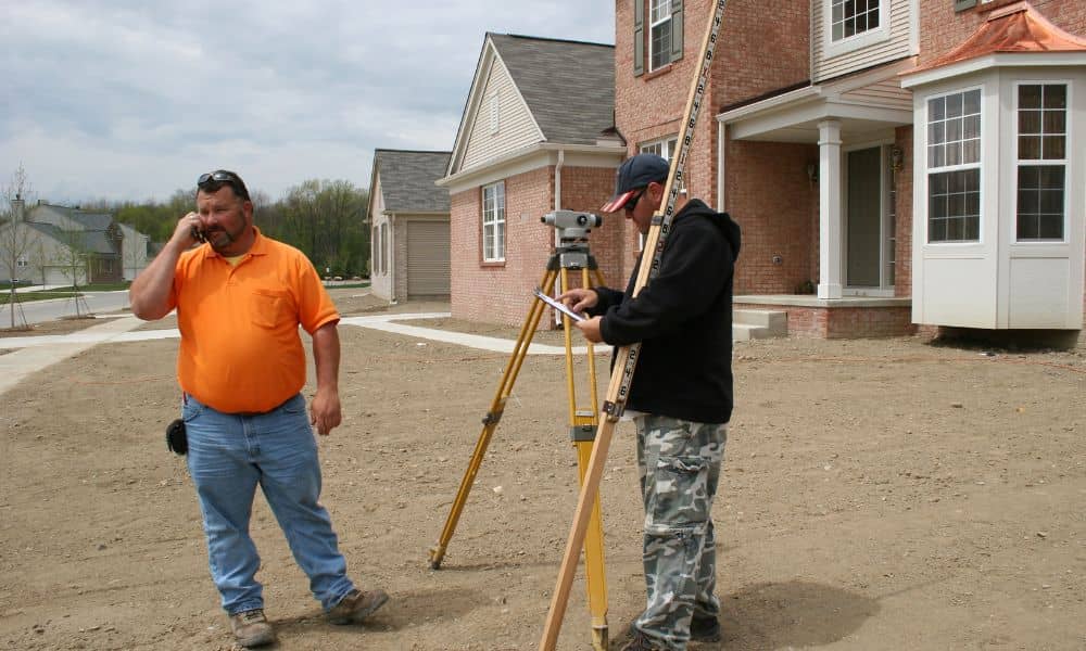
Imagine coming home, walking into your backyard, and seeing bulldozer tracks across your grass. Now imagine discovering that the neighbor already poured concrete next to your house while you were gone. That nightmare became a viral story online, and many homeowners could relate. The frightening part is that this can happen anywhere. A proper construction […]
What Solar Storms Really Do to Your Drone Survey Maps
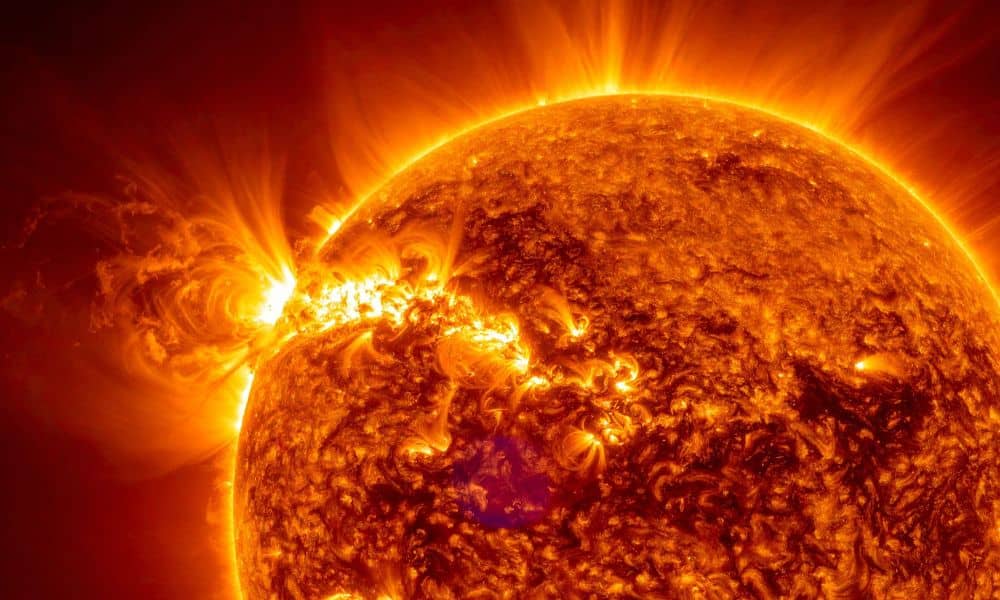
If you’ve ever scheduled a drone survey for a property project, you probably expect everything to be accurate down to the inch. Most days, that’s exactly what happens. However, recent headlines about powerful solar storms might make you wonder if the sun can actually mess with your survey. The short answer is yes. But the […]