Why Your HOA Might Require a Boundary Survey

Living in a community with a Homeowners Association (HOA) in Kentucky comes with certain rules and responsibilities. One of those responsibilities may involve getting a boundary survey before you start certain projects. At first, this might seem like an unnecessary step. However, it actually protects both you and your neighborhood from potential disputes, costly mistakes, […]
Why an Elevation Certificate Matters

If you live in Kentucky, especially in flood-prone areas, you may need an elevation certificate. This certificate shows how high your property is compared to the Base Flood Elevation (BFE) set by FEMA. Knowing this can help you understand your flood risk and possibly lower your flood insurance costs. In a state full of rivers, […]
How Drone Surveying Supports Bridge and Highway Projects
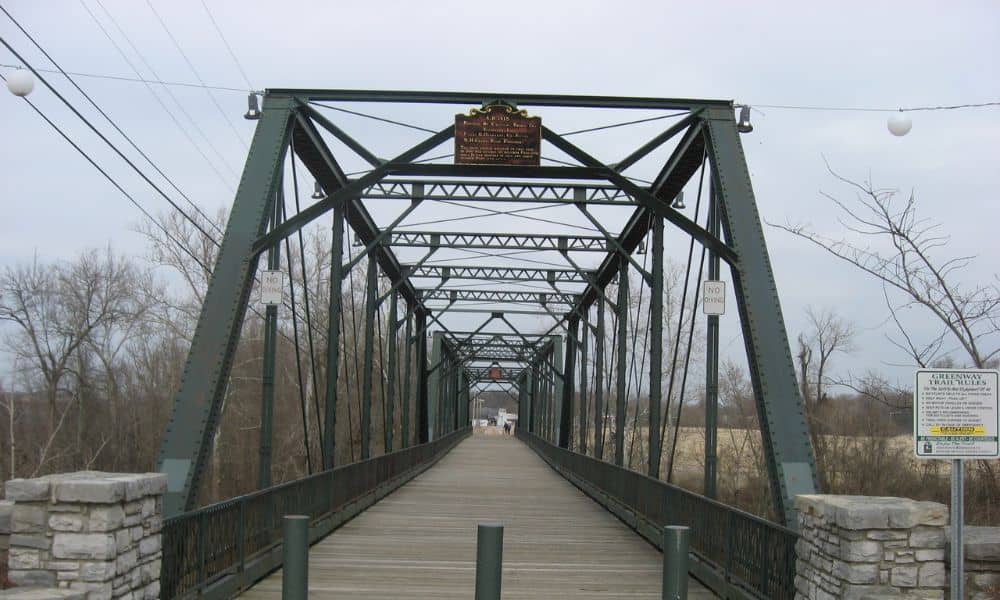
In fast-growing areas like Bowling Green, KY, road and bridge construction is happening all around us. Whether it’s expanding I-65, improving traffic flow on Scottsville Road, or working near the Barren River, accurate land data is essential. That’s where drone surveying comes in — offering fast, detailed insights without slowing down construction. Why Drone Surveys […]