How Statewide Drone Land Surveying Is Changing Property Data
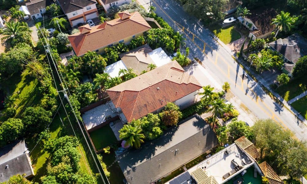
Have you ever wondered how surveyors measure land and property? Well, now they are using something pretty cool drone land surveying. In Bowling Green, a new statewide program is using drones to collect property data in a faster and better way than ever before. What Is Drone Land Surveying? Drone land surveying means using small […]